

Hiking New Zealand South Island: 26 Epic Hikes (Part 1: Southern Trails)
I was born in New Zealand – Aotearoa, the land of the long white cloud. Though I’ve lived half of my adult life abroad, returning to hike its wild, untamed trails always stirs something deep in me. There’s a raw beauty in the South Island that’s hard to explain but impossible to forget. The sheer variety, from wind-battered coastlines to alpine passes and moss-draped forests, tugs at my heart every time I lace up my boots here.
If you’re planning on hiking New Zealand South Island, you’ll now find my full guide split into two posts. This first part is dedicated to the southern trails; the remote Fiordland routes, the rugged Otago circuits, and the wild beauty of Stewart Island.
These aren’t the famous Great Walks. They’re the quieter, scrappier tracks that deserve just as much attention. Whether you’re chasing solitude, challenge, or something in between, these Southern hikes show a side of New Zealand that goes far beyond the brochures.
And when you’re ready, don’t forget to head over to [Part 2: Northern Trails] for my companion guide covering the other half of the island.
Note: Hiking or Trekking is known as Tramping in New Zealand. I just may revert to my native colloquialism from time to time.
These are some of the very best hikes the South Island has to offer. Bold, breathtaking, and totally unforgettable. Let’s dive in.
This article may contain affiliate links. If you make a purchase using one of these links, we may receive compensation at no extra cost to you. See our Disclosure Policy for more information.
Most of the hikes mentioned in this guide are multi-day hikes, with a couple of day hikes mixed in.
Each hike includes a link to the official DOC track page for more detailed information. Below are quick links to make it easy to search for hikes within your hiking ability. Enjoy!
Quick Links:
Easy/Intermediate:
Greenstone & Caples | The Copland Track | Mt Somers Track | Otago Central Rail Trail | Roys Peak Track |
Advanced:
Rees-Dart Track | Hollyford Track | Gillespie Pass Circuit | Inland Pack Track | South Coast Track | Southern Circuit, Stewart Island. | North West Circuit, Stewart Island
Expert:
Pyke – Big Bay Route | Dusky Track | Five Passes Route |
Mountain Bike Friendly:
Otago Central Rail Trail
OK – Let's get into it. Kicking off with my favourite, The Rees-Dart Track.
Rees-Dart Track
Duration: 64 km / 40 mi | 4-5 days
Grade: Advanced
Best Time to Walk: November – April
Location: Mount Aspiring National Parks, South Island

The Rees-Dart Track is by far my favourite secondary hike in New Zealand. It's a perfect Goldilocks hike; not too long, not too short—and has just the right mix its dramatic mix of alpine scenery, including river valleys, glaciers, and mountain vistas.
Although you can walk this trail in either direction, it’s often said to be better “up the Rees and down the Dart.” The track ascends the Rees Valley, surrounded by towering mountains and lush forests, and eventually climb up to the Rees Saddle. From there, it’s a short two-hour distance to Dart Hut, where you can take a side trip to Dart Glacier.
The Rees-Dart Track’s highlights also include the spectacular ascent to Cascade Saddle, which provides sweeping views of Mt. Aspiring and the Dart Glacier.
This diverse route moves from high alpine ridges to deep river valleys, showcasing some of New Zealand’s most impressive wilderness. It's no wonder the lower Dart Valley, with the beautiful ancient beech forest was featured in The Lord of the Rings. In fact, I remember being in awe at the slightly familiar territory, before understanding many scenes were shot on the lower Dart Track
This hike is a fantastic choice for experienced hikers who want to avoid the more crowded Great Walks but still crave an unforgettable alpine experience.
Route and Highlights:
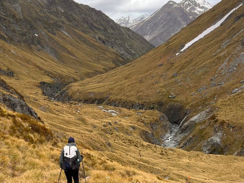
The track begins in the Rees Valley, passing through beech forests and crossing alpine meadows. The Rees Saddle connects the Rees and Dart Valleys and it is at this point where you descend into the hauntingly beautiful Dart Valley.
Another highlight of this hike is the side trip to Cascade Saddle, with sensational views of the surrounding mountains and valleys. However, this section is steep and can be dangerous in poor weather, so it's essential to take note of the daily weather reports issued by the hut wardens at 9 a.m. each morning.
The trail eventually leads to the Dart Valley, with its beautiful beech forests (some sections were used as a set for the Lord of the Rings films) and emerald rivers.
Huts and Facilities:
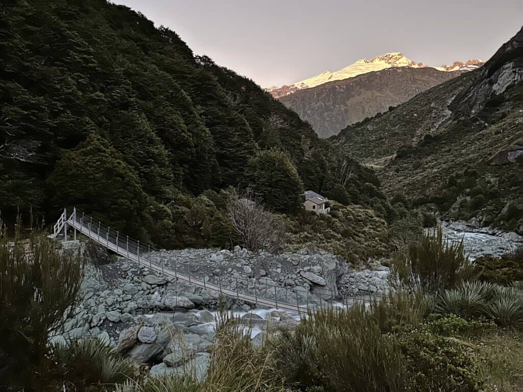
The track includes three huts: Shelter Rock Hut, Dart Hut and Daleys Flat Hut. Although these huts are graded as “serviced huts” they provide basic amenities like bunks, kitchen benches (with sink only), water, and toilets. All huts have camping areas alongside and campers can use the hut facilities.
Serviced huts on the more popular routes have a warden onsite who are always more than happy to pass on their knowledge of the area.
Difficulty and Accessibility:
Suitable for experienced hikers, the track requires good fitness and you need to be prepared for variable weather conditions. River crossings can be tricky, particularly after rain, so knowledge of river crossings is essential. Hut wardens post the weather forecast for the day at 9am each morning.


Greenstone and Caples Track
Duration: 61 km / 38 mi | 3 -4 days
Grade: Intermediate
Best Time to Walk: October to April
Location: Greenstone and Caples Conservation Areas, South Island

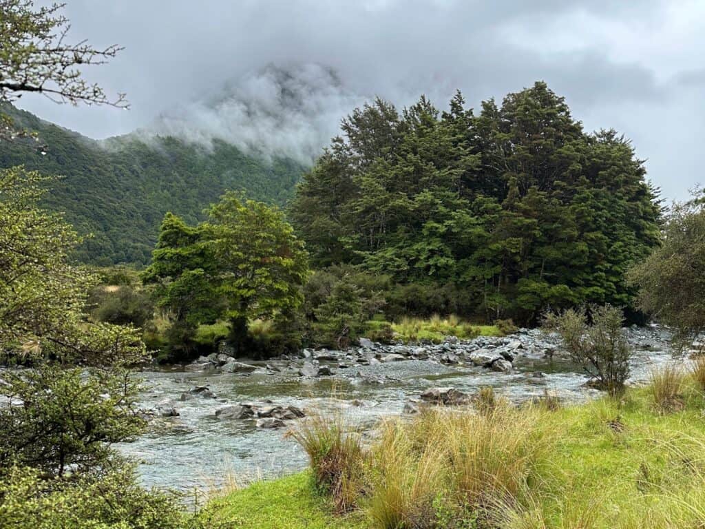
The Greenstone and Caples tracks follow their namesake valleys through some of the most serene landscapes in New Zealand’s South Island, connected by the McKellar Saddle. Both tracks can be hiked as a 3-4 day circuit, individually, or combined with the Routeburn Track for a longer adventure.
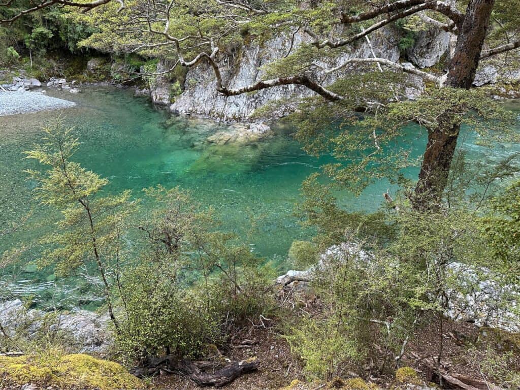
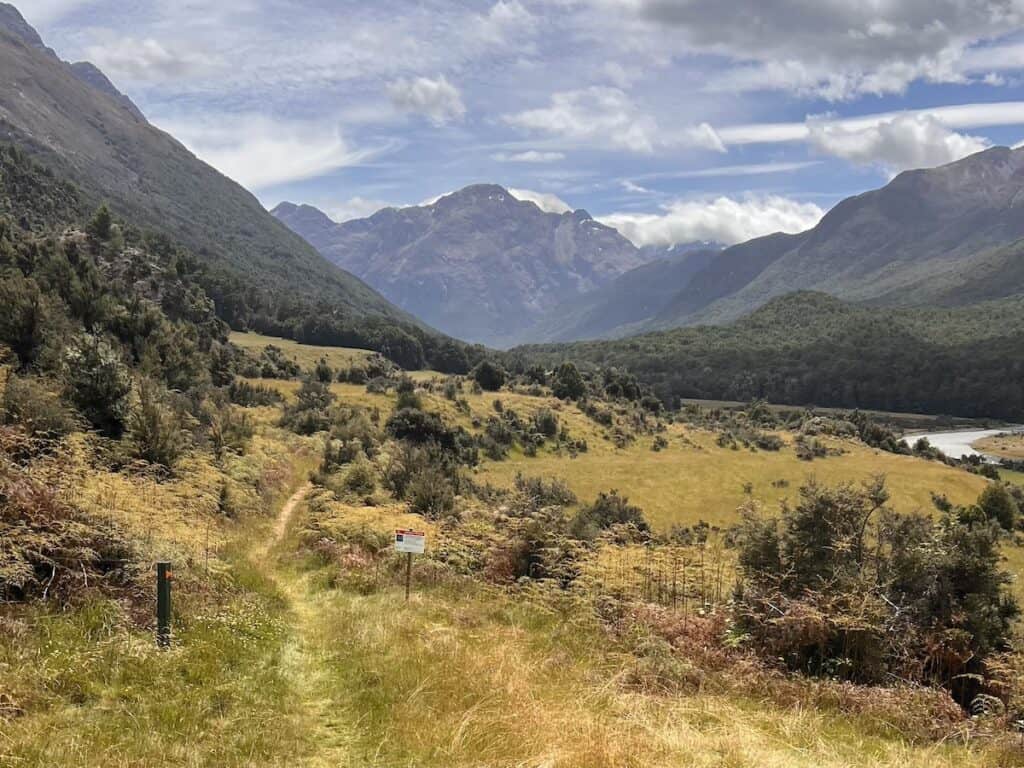
The track begins near Lake Wakatipu and winds through beech forests, alpine tussocklands, and river valleys. While not as dramatic as some of New Zealand's iconic alpine routes, it offers peaceful, scenic beauty without the crowds. The Greenstone Valley's gentle terrain makes it accessible to hikers of various skill levels, while the Caples Valley is more challenging, with a steeper ascent through mossy forests and over McKellar Saddle.
The views from McKellar Saddle are stunning, with sweeping vistas of the surrounding valleys and distant mountains. This loop is ideal for those seeking a quieter, more tranquil wilderness experience while enjoying classic South Island scenery.
Route and Highlights:
The Caples and Greenstone tracks start from the car park at the end of Greenstone Road, Glenorchy. Alternatively, they can be started from Lake Howden outlet on the Routeburn Track.
The track follows the Greenstone and Caples rivers, with sections passing through beech forests, tussock-covered flats, and alpine areas. Key highlights include the McKellar Saddle, which offers panoramic views over the valleys and mountains, and the peaceful, remote setting of the Caples Valley.
Read our full article on the Greenstone and Caples tracks here.
Huts and Facilities:
There are 3 DOC huts on the Greenstone and Caples tracks including the well-maintained huts such as Greenstone Hut and McKellar Hut. There are also two deerstalkers huts which can also be booked (check out our article on the Greenstone track for info).
These huts provide standard facilities, including bunks and toilets, kitchen benches – but no cooking facilities. Huts operate on a first-come, first-served basis, and camping is permitted at all hut locations for those who prefer to pitch a tent (like me!).
Difficulty and Accessibility:
This track is moderate in difficulty, making it suitable for hikers with a reasonable level of fitness. There are a few steeper sections, particularly over McKellar Saddle, but overall, it’s a manageable and enjoyable hike with a relatively gentle terrain compared to other alpine hikes. River crossings and weather conditions can pose challenges, so being prepared is and a knowledge of river crossings is key.

Spread the Aotearoa Love
Send this to your tramping whānau. They'll love it!
Hollyford Track
Duration: 56 km / 34.8 mi |4-5 days
Grade: Advanced
Best Time to Walk: Year round
Location: Fiordland National Park and Hollyford Valley, South Island
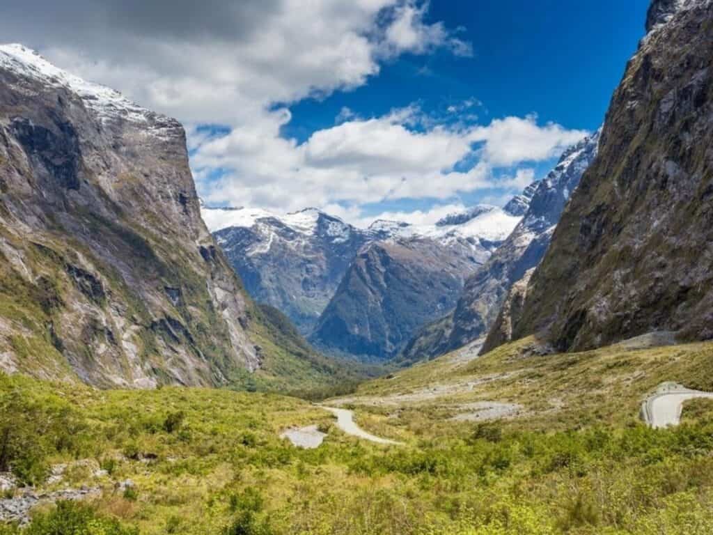
The Hollyford Track is a remarkable journey “from the mountains to the sea”, is a diverse and immersive experience within Fiordland National Park. Unlike many alpine tracks in the region, it remains at a lower elevation, with the highest point being just 181m (593 ft).
This trail leads hikers through lush rainforests, glacial valleys, and along pristine rivers, eventually reaching coastal ecosystems. Along the way, key highlights include the towering Darran Mountains, the serene Lake Alabaster, the powerful Hidden Falls, and the historical remnants of Jamestown, a once-thriving settlement.
Over 20,000 years ago, massive glaciers carved out the U-shaped Hollyford Valley, leaving behind breathtaking remnants of the ice age. Among them is the striking Donne Glacier, clinging to the eastern face of the towering Mount Tūtoko.
The track also passes Lake McKerrow/Whakatipu Waitai—a former fiord now transformed into a tranquil lake, cut off from the sea by centuries of sediment build-up at Martins Bay. This dramatic geological history adds to the awe-inspiring natural beauty at every turn on the Hollyford Track.

Route and Highlights:
The track follows the Hollyford River/Whakatipu Kā Tuka down to the sea at Martins Bay, a remote coastal destination where you can spot New Zealand fur seals, dolphins, and, if lucky, the rare Fiordland crested penguins.
For those looking to shorten their trip, jet boat services are available from certain points on the track. Hikers can either return on the same track or arrange transport from Martins Bay.
Other activities in the Hollyford Track area include day walks, guided walks (day or multi-day), climbing, trout fishing, deer hunting and kayaking.
Huts and Facilities:
The Hollyford Track has six Department of Conservation-managed huts, including McKerrow Island Hut, a side trip from the Demon Trail Hut section. The serviced huts include Hidden Falls Hut, Lake Alabaster Hut, Demon Trail Hut, Hokuri Hut, and Martins Bay Hut, while McKerrow Island Hut is standard.
Serviced huts offer basic facilities like bunks, water, and toilets, and may have a warden onsite, unlike standard huts. Independent hikers can use these huts, but there is also the option of a guided walk with private lodges offering more luxurious amenities.


Difficulty and Accessibility:
The Hollyford Track is relatively easy compared to other Fiordland hikes, making it accessible to a wide range of fitness levels. The trail is mostly flat, with the highest elevation being 181 m, so it lacks the steep alpine climbs typical of the region. However, weather in Fiordland can still be unpredictable, so proper gear is essential.
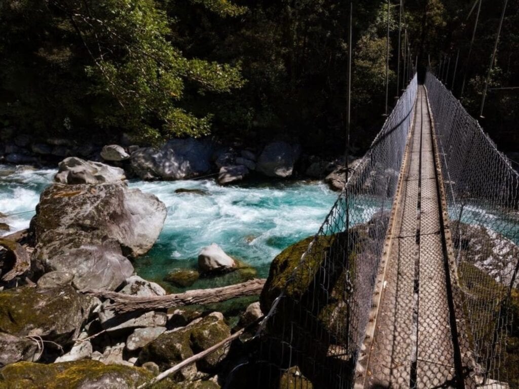
There are 3 three-wire bridges on the Demon Trail section; however, other river crossings may be impassable during or after heavy rain.
Side Trip: McKerrow Island Hut
This side trip takes approximately 30 minutes and covers a distance of 1.2 km. Follow the track about 40 m down the true right side of the Hollyford River (facing downstream), then cross to the true left.
The track travels through a small section of bush to the lake edge, where the hut is located near the river mouth in the bush. Note that there is no bridge over the river, so be aware that it can flood after heavy rain, potentially stranding you in the hut until it is safe to cross.
Optional Extension: Pyke – Big Bay Route
For skilled and experienced hikers, the Pyke – Big Bay Route offers a challenging extension to the Hollyford Track. This route typically takes 2-3 days for a round trip and spans approximately 28 km one way.
The terrain is rugged, with steep climbs and river crossings, making it a deeper and more remote exploration of Fiordland’s landscapes. Strong navigation skills are essential, as this less-traveled path can be more demanding than the main track.

Free New Zealand Hiking Packing List
Pack light and stay organised for your next hike on Aotearoa's famous trails. Add notes, save or print, and share with your hiking partners so everyone knows what’s covered. Works on any device.
Pyke – Big Bay Route
Duration:
88 km / 54.5 mi – including the Hollyford Track
60 km / 37.3 mi – without the Hollyford Track extension.
Grade: Expert
Best Time to Walk: Year round (however track may be impassable during high wet periods)
Location: Fiordland National Park and Hollyford Valley, South Island
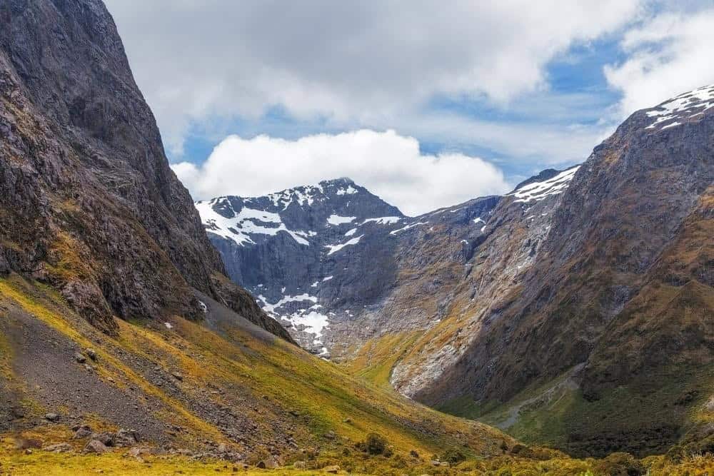
The Pyke – Big Bay Route is a challenging and rewarding adventure for experienced hikers looking to explore the rugged beauty of Fiordland National Park. With its dramatic landscapes and varied environments, this route offers a true backcountry experience. Typically taking 3-4 days to complete, hikers can extend their journey by adding the Hollyford Track, creating a 4-8 day expedition.
This is not a track for the inexperienced or for those who fail to recognise when it’s prudent to change plans. Backcountry judgment is crucial. Whether it’s knowing when to turn back, wait for rivers to recede, or plan alternative routes for safety.
Route and Highlights:
The route traverses sections of Fiordland and Mount Aspiring National Parks, as well as Pyke Forest, all of which are part of the Te Wähipounamu, the South West New Zealand World Heritage Area.
The track includes lush rainforests, sweeping river valleys, and stunning coastal vistas. Highlights include the breathtaking views of the Fiordland coastline and the unique flora and fauna of the region. The route features several unbridged river crossings and steep ascents, with plenty of opportunities for wildlife spotting, including native birds and seals along the coast.
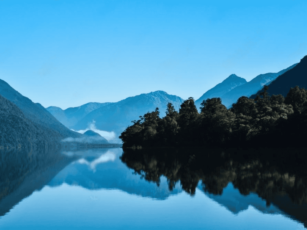
Huts and Facilities: Along the Pyke – Big Bay Route, you'll find basic facilities at Big Bay Hut and Olivine Hut, both classified as standard huts, offering bunks and water. Lake Alabaster Hut and Martins Bay Hut, while offering similar facilities, are classified as serviced huts and may have a warden onsite during the main hiking season.
Additionally, there is a campsite adjacent to the Pyke River at Paulin Creek (Pyke River Crossing Campsite), suitable for use in fine weather only. Wild camping is permitted, but amenities are limited. Given the remote nature of this area, self-sufficiency is crucial, so ensure you carry enough food and supplies.
Difficulty and Accessibility:
The Pyke – Big Bay Route is strictly for skilled and experienced hikers only. Expect steep climbs, multiple river crossings, and unpredictable weather. Strong navigation skills are a must, as the path is less defined compared to more popular tracks.
Flooding can make parts of the route completely impassable. The river crossings are particularly problematic, with only a couple of bridges over smaller creeks, while the major rivers are unbridged and can be extremely hazardous.
At the Alabaster Creek end of the lake, knee-deep water is common, and after rain, it can become much harder and slower to navigate. Alabaster Creek is normally crossed via a gravel bar at its mouth, but heavy rain can turn this into a deep and dangerous crossing.


Dusky Track
Duration: 84 km / 52 mi | 8-10 Days
Grade: Advanced/Expert
Best Time to Walk: November – April
Location: Fiordland National Park
The Dusky Track is one of New Zealand’s most challenging and remote hikes, crossing three major valleys and two mountain ranges deep in the heart of Fiordland. It’s rugged, relentless, and often wet, but the rewards are huge—vast wilderness landscapes, sweeping views, and a real sense of isolation that’s hard to find anywhere else.
The track traverses dense rainforests, crosses wild rivers, and climbs over steep mountain passes, offering stunning views of Fiordland’s fjords, mountains, and lakes. It’s a serious undertaking, and not one to be underestimated.
The Dusky Track is best suited to experienced hikers, as it can be impassable in poor weather and requires careful planning. Those who are up for the challenge will be rewarded with incredible solitude, abundant wildlife, and a true backcountry adventure that earns its place on any seasoned hiker’s bucket list.
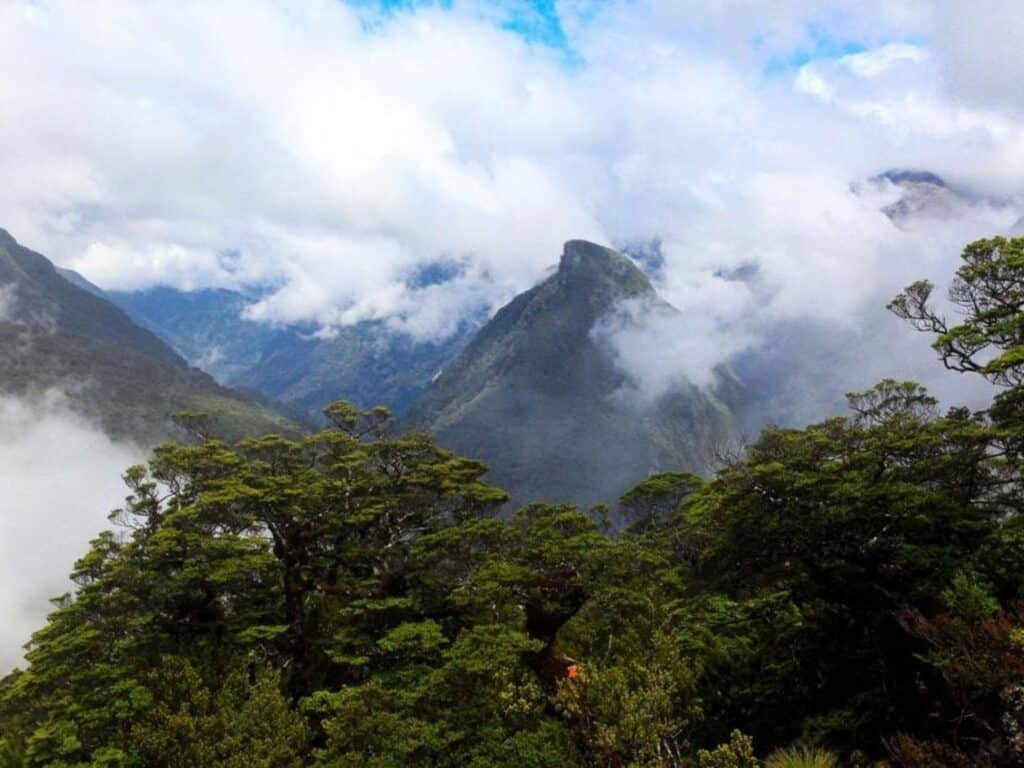
Route and Highlights: The track winds through dense rainforests, alpine passes, and remote river valleys, offering trampers a true wilderness experience. Key highlights include the crossing of the challenging Centre Pass, the Dusky Sound views, and the pristine Seaforth River. The track also passes through untouched wetlands and wild fiordland landscapes that few trampers ever get to experience.
Huts and Facilities: The Dusky Track has several basic DOC huts, such as Loch Maree Hut and Supper Cove Hut. These huts provide only essential amenities like bunks, water, and toilets, with no advanced facilities due to the track’s remoteness.
Difficulty and Accessibility: The Dusky Track is only suitable for experienced trampers with a high level of fitness and backcountry skills. It includes numerous river crossings, some of which can become impassable after heavy rain, and the track is often muddy and difficult to navigate. Trampers need to be well-prepared for severe weather and remote conditions, with sufficient food and gear for the long, challenging trek.
Loch Maree Hut to Supper Cove Hut (6–8 hours each way) is an optional add-on, bringing the total number of days trekking to 10.


Five Passes Route
Duration: 63 km / 39 mi | 4-6 Days
Grade: Expert
Best Time to Walk: November – April
Location: Mt Aspiring National Park
The Five Passes Route is one of New Zealand’s ultimate backcountry adventures, weaving through Mount Aspiring National Park’s wild alpine landscapes and remote valleys. This challenging and unmarked route crosses five alpine passes or saddles—Sugarloaf Pass, Park Pass, Cow Saddle, Fiery Col, and Fohn Saddle. It offers expansive views of the Southern Alps and the chance to explore remote valleys and ridgelines.
It’s a serious alpine adventure for experienced hikers, requiring strong navigation skills, with river crossings, steep ascents, and exposed sections. The track ventures deep into rugged backcountry terrain, with glacier-fed rivers, wild alpine basins, and views stretching towards the Fiordland ranges in the west.
The Five Passes Route demands strong navigation skills, solid fitness, and good judgment, making it best suited to experienced hikers comfortable with remote, unmarked terrain. The rewards are immense—raw beauty, true solitude, and an unforgettable experience in some of the South Island’s most spectacular country.
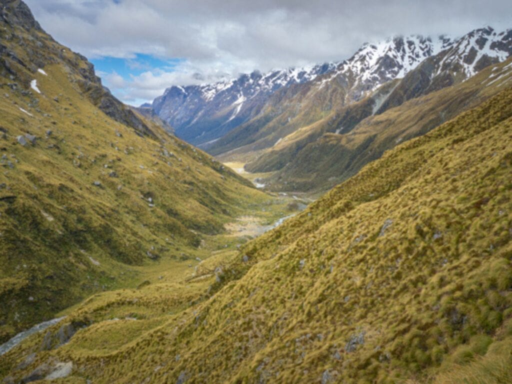
Route and Highlights: The route involves no formal trail, meaning hikers must self-navigate their way through rugged valleys, high mountain passes, and alpine tarns. Highlights include Fohn Saddle, Fiery Col, and Hidden Falls Creek. The scenery is dramatic, with expansive views of the Southern Alps, rivers, and glaciers. The Five Passes Route is a true backcountry experience with few other hikers.
Huts and Facilities:
There are no official huts along the Five Passes Route itself. You can start or finish your journey at a hut like Shelter Rock Hut on the Rees-Dart Track, but once you’re on the route, you’ll be relying on natural rock bivvies at places like Beans Burn, Olivine Ledge, Park Pass, and Theatre Flats.
These bivvies are used for sleeping, but they’re basic—nothing more than a rock overhang to crawl under. Given the demanding terrain and how quickly the weather can turn, it’s wise to carry your own shelter rather than relying solely on the bivvies. This is a true backcountry camping route where you need to be completely self-sufficient.
Difficulty and Accessibility: The Five Passes Route is for highly experienced hikers only. It requires advanced navigation skills, as there is no marked trail and the terrain is often steep, rocky, and exposed. Weather can change rapidly, and snow is possible at any time of year. This is a serious alpine route that requires a high level of fitness, preparation, and experience in backcountry travel.

Trails Worth Writing Home About
Send this on to a mate planning their own tramp.
Gillespie Pass Circuit
Duration: 58 km / 36 mi | 3-4 Days
Grade: Advanced
Best Time to Walk: November – April
Location: Mt Aspiring National Park
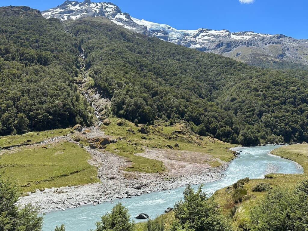
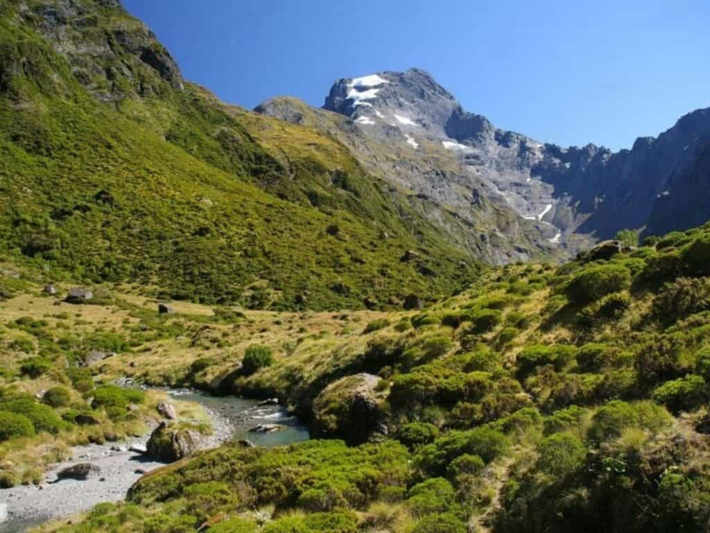
The Gillespie Pass Circuit is one of the South Island’s classic alpine hikes, offering a real taste of New Zealand’s rugged backcountry. Set deep in Mount Aspiring National Park, the trail combines steep climbs, wild rivers, and sweeping mountain landscapes into a rewarding loop.
The climb over Gillespie Pass is steep and exposed, but the views across to Mount Awful and Mount Dreadful are worth the effort. The circuit also passes through the beautiful Siberia Valley, with the option to add a side trip to the glacier-fed Crucible Lake.
Although it’s not one of New Zealand’s Great Walks, the Gillespie Pass Circuit easily matches them for beauty—without the crowds. It’s a remote track with variable conditions, and hikers need to be prepared for river crossings and fast-changing weather. For experienced hikers, it’s one of the South Island’s best multi-day routes.
Route and Highlights:
The circuit starts in the Makarora Valley and ascends steeply to Gillespie Pass, where hikers are rewarded with breathtaking views of Mount Awful, Mount Dreadful, and the surrounding peaks. The track then descends into the Siberia Valley, where you’ll find the beautiful Siberia Hut and the optional side trip to the stunning Crucible Lake, a glacier-fed lake nestled among jagged peaks. The return journey takes you along the Wilkin River, with the option to book a jet boat ride back to Makarora.
Huts and Facilities:
The circuit is serviced by DOC huts, including Young Hut and Siberia Hut, as well as the Young Forks campsite. These huts provide standard facilities like bunks, water, and toilets, and bookings are required. There is one other hut on the circuit, but the Wilkin River—which can become impassable during rain—must be crossed to access it. The section from Siberia Hut back to Makarora can be completed in one day.
Difficulty and Accessibility:
The Gillespie Pass Circuit is a strenuous hike, suitable for experienced hikers with a high level of fitness. The climb to the pass is steep and exposed, and the river crossings, particularly of the Makarora and Wilkin rivers, can become dangerous after heavy rain. Hikers must be prepared for variable weather conditions, including snow at higher altitudes.


South Coast Track
Duration: 80 km / 50 mi | 5-6 days
Grade: Intermediate/Advanced/Expert
Best Time to Walk: November – April
Location: Fiordland National Park
The South Coast Track cuts through one of New Zealand’s wildest and most remote regions, deep in Fiordland National Park. It follows the isolated southern coastline, crossing dense forests, tidal flats, and rough, windswept beaches.
Beyond the southern tip of Stewart Island lies the Southern Ocean, and that same wild energy shapes this landscape—raw, dramatic, and constantly shifting.
The track is challenging, with long muddy sections, river crossings, and rough coastal stretches that can slow you down. It’s a proper backcountry hike, where good decision-making and a solid level of fitness are essential.
For those ready to take it on, the rewards are huge: a true sense of isolation, rare coastal birdlife, and glimpses of New Zealand’s early pioneering history, including the towering Percy Burn Viaduct. This is a serious hike best suited to experienced hikers who are comfortable in tough, remote conditions.

Route and Highlights: The track begins at Tuatapere and winds its way through a diverse range of environments, including beech forests, tidal flats, and beaches. Highlights include the towering viaducts left over from the logging days, such as Percy Burn Viaduct—the largest wooden viaduct in the Southern Hemisphere. Along the way, you’ll encounter unique coastal wildlife and have the opportunity to visit historic Port Craig, a former sawmilling settlement.
Huts and Facilities: There are several backcountry huts along the track, including Waitutu Hut, Wairaurahiri Hut, and Port Craig Hut. These huts offer basic accommodations with bunks, water, and toilets. There are also designated campsites near the huts for those who prefer to camp. Facilities are minimal, so hikers should be prepared to bring all necessary food and cooking equipment.
Difficulty and Accessibility: The South Coast Track is a demanding hike, suitable only for experienced trampers with a high level of fitness. The terrain is varied, with multiple river crossings, muddy sections, and rough coastal paths that require attention and care. Weather in Fiordland is notoriously unpredictable, with sudden downpours and strong winds, so it’s essential to be well-prepared and flexible with timing.

Like this? We've got loads more!
Sign up for our weekly email and get your Free Copy of HIKE IT RIGHT.
An 88-page guide to staying well, looking after your body, and handling things when they don’t go to plan
You can unsubscribe anytime. For more details, review our Privacy Policy.
Harper Pass Track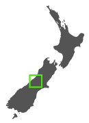
Distance: 65 km / 40 mi | Duration: 4-5 days
Difficulty: Advanced
Best time to walk: December – April
Location: Lake Sumner Forest Park, Canterbury
The Harper Pass Track is one of the oldest crossings of the Southern Alps, steeped in history and rugged beauty. Long before Europeans arrived, the Ngāi Tahu iwi used this lower-altitude pass to travel between the Canterbury Plains and the West Coast, carrying precious pounamu (greenstone) back to their eastern settlements.
In the 19th century, it became an important pathway for early European explorers and later gold miners heading west during the gold rush. Today, the Harper Pass Route offers a 4–5 day backcountry experience connecting the Hurunui and Taramakau river valleys.
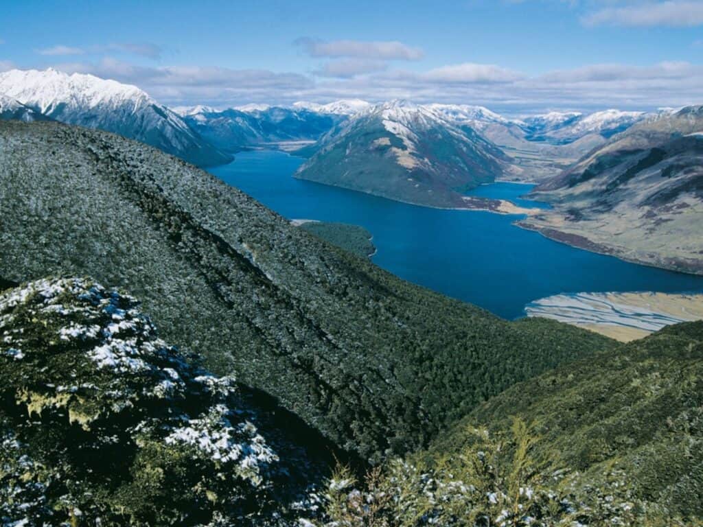
The trail winds through dense beech forests, open river flats, and tussock-covered alpine basins, crossing Harper Pass at just under 1,000 metres. While the track is generally well-marked, river crossings and weather conditions can make the journey challenging. It's a rewarding option for experienced hikers wanting to walk in the footsteps of those who first carved paths through this remote landscape.
Route and Highlights:
Starting from the Hurunui River, the track leads hikers through the wild Hurunui Valley, over Harper Pass, and down the Taramakau River toward the West Coast. Highlights include the hot springs at Hurunui and the stunning alpine views from Harper Pass.
Huts and Facilities:
Hikers will find several basic Department of Conservation (DOC) huts along the way, such as the Locke Stream Hut and Hurunui Hut. These huts provide bunks, water, and basic kitchen areas, though they lack modern amenities.
Difficulty and Accessibility:
The Harper Pass Route is suited for experienced trampers due to the river crossings and the exposure to alpine conditions. After rain, the Taramakau River can become impassable, so careful planning is needed. Weather changes quickly in the mountains, and hikers should be well-prepared for all conditions.


Three Passes Route
Distance: 50 km / 31 mi | Duration: 4-5 days
Difficulty: Expert
Best time to walk: December – March
Location: Arthur’s Pass National Park
Description:
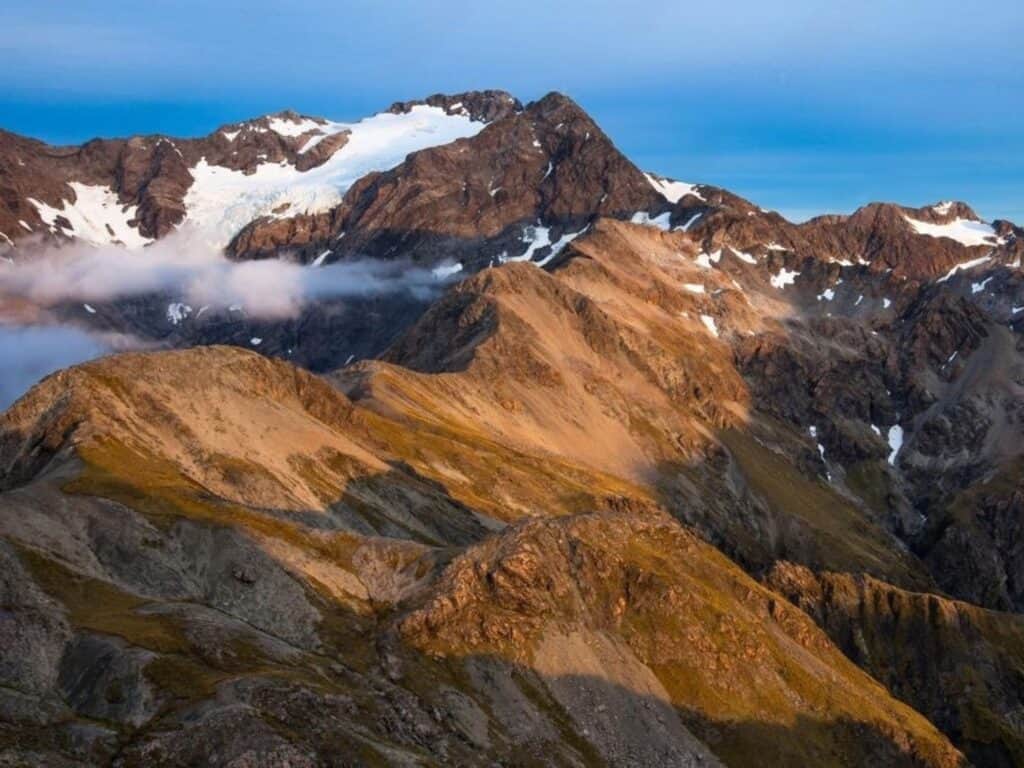
The Three Passes Route is one of New Zealand’s most challenging and remote alpine hiking routes. It crosses three major passes—Harman Pass, Whitehorn Pass, and Browning Pass—each bringing different obstacles, from loose scree to exposed ridgelines and rugged river valleys.
This is an unmarked, unmaintained route deep in the heart of Arthur’s Pass National Park, requiring strong navigation skills and the ability to handle difficult backcountry terrain.
The sense of isolation and the exposure to extreme conditions make this a serious multi-day undertaking. It’s suited only to experienced hikers with solid alpine experience. River crossings, steep climbs, and rapidly changing weather all add to the challenge.
But for those willing to take it on, the rewards are huge. The dramatic glaciers, towering peaks, and wild alpine landscapes make the effort worthwhile. This is raw, untamed New Zealand at its finest, far from the crowds and deep in real backcountry.
Route and Highlights:
Starting at the Waimakariri River, the route climbs over Harman Pass before descending into the Taipo Valley. The journey continues with the crossing of Whitehorn Pass and Browning Pass, where hikers will be rewarded with jaw-dropping views of the Southern Alps. The highlight of the route is the high alpine scenery, which includes crossing large scree slopes, glaciated terrain, and pristine mountain lakes.
Huts and Facilities:
There are no serviced huts along this route, so hikers need to be self-sufficient. There are a couple of basic DOC huts in the lower valleys, including Carrington Hut, but hikers will need to bring tents for camping in alpine sections.
Difficulty and Accessibility:
The Three Passes Route is a highly challenging, unmarked alpine route. It requires strong navigational skills, a high level of fitness, and experience in dealing with river crossings, scree slopes, and glacial terrain. In winter, snow and ice make the route impassable without mountaineering equipment. Trampers must be prepared for extreme and rapidly changing weather.
If there is snow leading up to the Browning Pass section (winter and early spring) it is essential that all members of the party can self-arrest.


Otago Central Rail Trail
Distance: 152 km / 94 mi | Duration: 4-5 days (walking)
Difficulty: Easy to Intermediate
Best time to walk: November – April
Location: Central Otago

Description:
The Otago Central Rail Trail is a unique way to experience the wide-open landscapes of Central Otago. Following the old railway line between Middlemarch and Clyde, the trail is mostly flat and easy-going, making it a great option for a multi-day walk or ride without the demands of more rugged tracks.
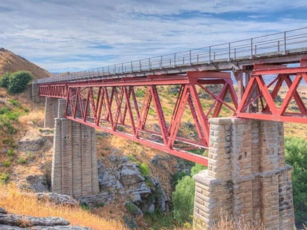
It is New Zealand's first and most famous cycle trail, but it also offers a memorable walking experience through historic tunnels, across stone viaducts, and through the dramatic open country of Central Otago.
The route winds through a landscape shaped by gold mining, sheep farming, and hardy settlers. Trailsides are dotted with character-filled stops like Waipiata, Lauder, Wedderburn, and Chatto Creek, where classic country pubs still welcome travellers.
It’s not just about the distance—it’s about soaking up the big skies, the sense of space, and the quiet history woven through the landscape. With endless views and a deep connection to the region’s past, the Rail Trail is a relaxed but rewarding journey through one of New Zealand’s most distinctive regions.
Route and Highlights:
The trail winds through classic Central Otago landscapes, with highlights including the Poolburn Gorge, the Wedderburn Railway Shed, and the historic towns of Omakau and Lauder. The wide-open vistas, big skies, and golden-hued hills are trademarks of the region. One of the most fascinating aspects of the trail is the opportunity to explore Otago’s gold mining heritage through old settlements and historic sites.
Looking to experience the Otago Central Rail Trail by bike?
57 Hours Adventures, known for their small-group adventure trips, run a great tour that covers both the Rail Trail and the Lake Dunstan Trail. It’s a relaxed way to explore the region’s landscapes, old railway history, and trailside towns, with a few local experiences along the way. You can check it out here if you’re interested.
Huts and Facilities:
Accommodation along the Otago Central Rail Trail includes historic lodges, country pubs, B&Bs, and a handful of camping options. In total, there are two Department of Conservation (DOC) camping grounds and four privately owned campgrounds scattered along the route.
Although the trail is less rugged than traditional backcountry hikes, walkers and cyclists still need to be self-sufficient with water and basic supplies, as towns and facilities can be spaced far apart.
Difficulty and Accessibility:
This trail is accessible to a wide range of hikers (and bikers), thanks to its gentle gradient and well-maintained path. It’s perfect for beginners or those looking for a less strenuous walk. However, because it crosses through some remote farmland, weather can be a factor, with hot, dry summers and cold, windy winters.


Roy's Peak Track
Distance: 16 km / 10 mi | Duration: 5–6 hours return
Difficulty: Intermediate
Best time to walk: November – April (closed during lambing season – October–November)
Location: Central Otago
Description:
Roys Peak Track is often called the South Island’s most popular day hike — and it’s easy to see why. Located just outside Wānaka, this steady but challenging climb rewards hikers with sweeping views over Lake Wānaka, Mount Aspiring, and the surrounding alpine landscapes.
The well-formed trail climbs through private farmland, alpine meadows, and tussock grasslands to the summit at 1,578 metres. From the top, the panorama stretches across the Matukituki Valley, the Southern Alps, and deep into Mount Aspiring National Park.
While the trail’s gradient is consistent, the elevation gain is no small thing. It’s an achievable challenge for anyone with reasonable fitness, but the continuous ascent can feel relentless. The track is also fully exposed, with no shelter or water along the way, so good preparation is essential.
Roys Peak Track is closed each year from 1 October to 10 November for lambing season. During that time, Isthmus Peak is a great alternative.

Route and Highlights:
The Roys Peak Track starts just a few kilometres outside of Wānaka, following a clearly marked 4WD farm track for much of the ascent. The route steadily climbs through rolling farmland before reaching the alpine tussock zone, where the views begin to open up dramatically.
One of the most iconic points is the famous Roys Peak “photo spot,” located on a ridge below the summit, offering sweeping views of Lake Wānaka and the Southern Alps. From there, it’s a final push to the true summit at 1,578 metres.
Huts and Facilities:
There are no huts or shelters along the Roys Peak Track, and camping is not permitted anywhere on the trail. This is a day hike only, so hikers need to be fully self-sufficient.
There are toilets located at the Roys Peak car park, but no water sources along the track itself. Hikers must carry enough water for the entire return journey, especially during the warmer months. The exposed nature of the trail means sun protection and adequate food and gear are also essential.aced far apart.
Difficulty and Accessibility:
Roys Peak Track is officially graded easy to intermediate. While the trail is well-formed, the steady ascent over 1,200 metres of elevation requires a good level of fitness. The track is fully exposed, with no shade or water available, so conditions can be challenging, particularly in hot or windy weather.
Walkers should carry plenty of water, sun protection, and be prepared for sudden changes in weather. Despite its accessible grading, the consistent uphill climb can be demanding, particularly for those unused to longer ascents.


Hikes on Rakiura/Stewart Island
Stewart Island, known as Rakiura in Māori, means “Land of Glowing Skies,” referring to the Aurora Australis. Located at New Zealand’s southernmost edge, Rakiura offers a truly unique wilderness experience and is a haven for nature lovers. With lush rainforests, untouched beaches, and abundant birdlife, including the Tokoeka (southern brown kiwi), the island is home to over 22,000 kiwi, compared to only about 400 permanent residents. Tokoeka can be seen both day and night.
Officially designated as a Dark Sky Sanctuary, Rakiura is one of the best places to marvel at the Southern Hemisphere’s stars.
Stewart Island/Rakiura is also home to the Rakiura Track, one of New Zealand's Great Walks, however the island has over 280 km of walking tracks, ranging from short strolls to multi-day hikes.
Southern Circuit, Rakiura/Stewart Island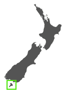
Distance: 71 km / 44 mi | Duration: 5-7 days
Grade: Advanced
Best Time to Walk: December – April
Location: Stewart Island
The Southern Circuit on Stewart Island is one of the most remote and rugged hikes in New Zealand. Traversing the southern part of the island, this challenging route leads hikers through dense rainforest, over muddy and boggy terrain, and along wild, windswept coastlines.
The trail is infamous for its tough conditions—thick mud, relentless sandflies, and unpredictable weather. For experienced hikers, however, the rewards are plentiful: untouched wilderness, abundant native wildlife, and a powerful sense of isolation that is hard to find elsewhere.
Less trafficked than the Rakiura or Northwest Circuits, the Southern Circuit suits experienced hikers who are looking for solitude, challenge, and a true backcountry experience.
Route and Highlights:
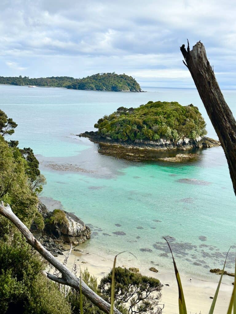
The Southern Circuit weaves through a mix of landscapes, from the mossy rainforests of the Tin Range to the wide, empty beaches around Doughboy Bay. The track crosses the Freshwater River and passes through habitat where kiwi and other native birds are often seen (and heard).
While the route can be muddy and rough in places, it is more about endurance than technical difficulty. The main challenge lies in the isolation and the long stretches between huts, but for those who enjoy the raw beauty of remote places, this southern corner of Stewart Island is a special one.
Huts and Facilities:
The track is dotted with basic backcountry huts that provide essential shelter but very few comforts. These include Bungaree Hut, Christmas Village Hut, and Rakeahua Hut. Hikers must carry all necessary supplies and be prepared for unpredictable weather and challenging conditions.
Difficulty and Accessibility:
The Southern Circuit is one of New Zealand’s most challenging hikes due to the constant mud, numerous river crossings, and long days in the wilderness. It is only suitable for experienced hikers with high fitness levels.
Navigation can be difficult, and the weather on Rakiura/Stewart Island is notoriously unpredictable. Hikers must be prepared for wet and windy conditions, and even in the summer months, temperatures can drop rapidly.


North West Circuit Rakiura /Stewart Island
Distance: 125 km / 77.7 mi | Duration: 9-11 days | Difficulty: Advanced
Best time to walk: November – April
Location: Stewart Island, South Island, New Zealand
Description:
The North West Circuit is a true backcountry journey around Stewart Island’s rugged northern coastline. Covering around 125 kilometres, it is one of New Zealand’s longest and most remote multi-day hikes, and is best suited to experienced hikers.
The trail winds through moss-draped forests, across wild beaches, and along exposed coastal headlands. Days are long, the mud is constant, and river crossings can be difficult after heavy rain. But the rewards are huge: sweeping ocean views, remote campsites, and the rare chance to spot kiwi in the wild—even during daylight hours.
The route also passes through areas of historical significance, including preserved Māori village sites such as Kaipipi Bay, which was once used for shipbuilding in the 19th century.
Unlike the Southern Circuit, the North West Circuit leads hikers deep into some of Stewart Island’s most isolated landscapes. It’s a serious backcountry trip that demands careful planning, strong navigation skills, and the fitness to manage long days in rugged, often wet conditions.

Route and Highlights:
Starting from Oban, this extensive trail winds through rugged coastlines and over remote beaches, moving inland to cover significant historical sites such as early Māori settlements. Highlights include the expansive Mason Bay, known for nocturnal kiwi sightings, and the dramatic coastal cliffs offering panoramic ocean views. The isolation and raw beauty of the environment make each step along this challenging trail both a test of endurance and a rewarding journey.
Huts and Facilities:
Basic backcountry huts are scattered along the North West Circuit, including Yankee River Hut, Christmas Village Hut, and East Ruggedy Hut. These huts provide bunks, rainwater tanks, and long-drop toilets, but no heating or cooking facilities. Like most New Zealand backcountry tracks, hikers need to carry their own stove and supplies.
Difficulty and Accessibility:
The trail is rated as advanced mainly due to its length and the endurance required to complete it, rather than technical challenges. It includes long stretches of muddy tracks and can be physically taxing. The weather on Stewart Island can be unpredictable, with frequent rain and wind, which adds to the challenge. Preparation is key, and hikers need to be well-equipped with provisions and appropriate gear for the changing conditions.
And That's a Wrap
So there you have it: 26 Epic Hikes in the South Island that are often overlooked. Some are easy, some are extremely difficult, but no matter the grade, they all showcase the ultimate beauty New Zealand has to offer.
New Zealand isn’t a large country. If you’re headed to the “Land of the Long White Cloud”, which is what Aotearoa (the Māori name for New Zealand) translates to, you'll find the distances between hikes short. Short enough to fit more than one hike in!
Make sure you read all of our other Great Guides in this series, from booking huts, to finding more great hikes! And if you liked this guide, it'd mean the world to me if you could share it: the share icons are below.
And if you haven't already, please sign up to my newsletter. Not only do I send out Good Stuff like this guide, but you also get my free e-book on Health, Safety and Hygiene on the Trail. Packed with sensational tips on stuff like snake bites, heat exhaustion, what to do in a thunderstorm… You get the drift. It's golden.
Say Yes to the Most Informative Free Hiking Manual Ever!
You can unsubscribe anytime. For more details, review our Privacy Policy.