
Wild Camping The GR221 Mallorca – The Dry Stone Route
The GR221 of Mallorca is an amazing hike that perfectly encapsulates a week to ten days of diverse terrain and cultural exploration. It had been on my radar for quite some time, and when the right moment came along, I jumped at the chance.
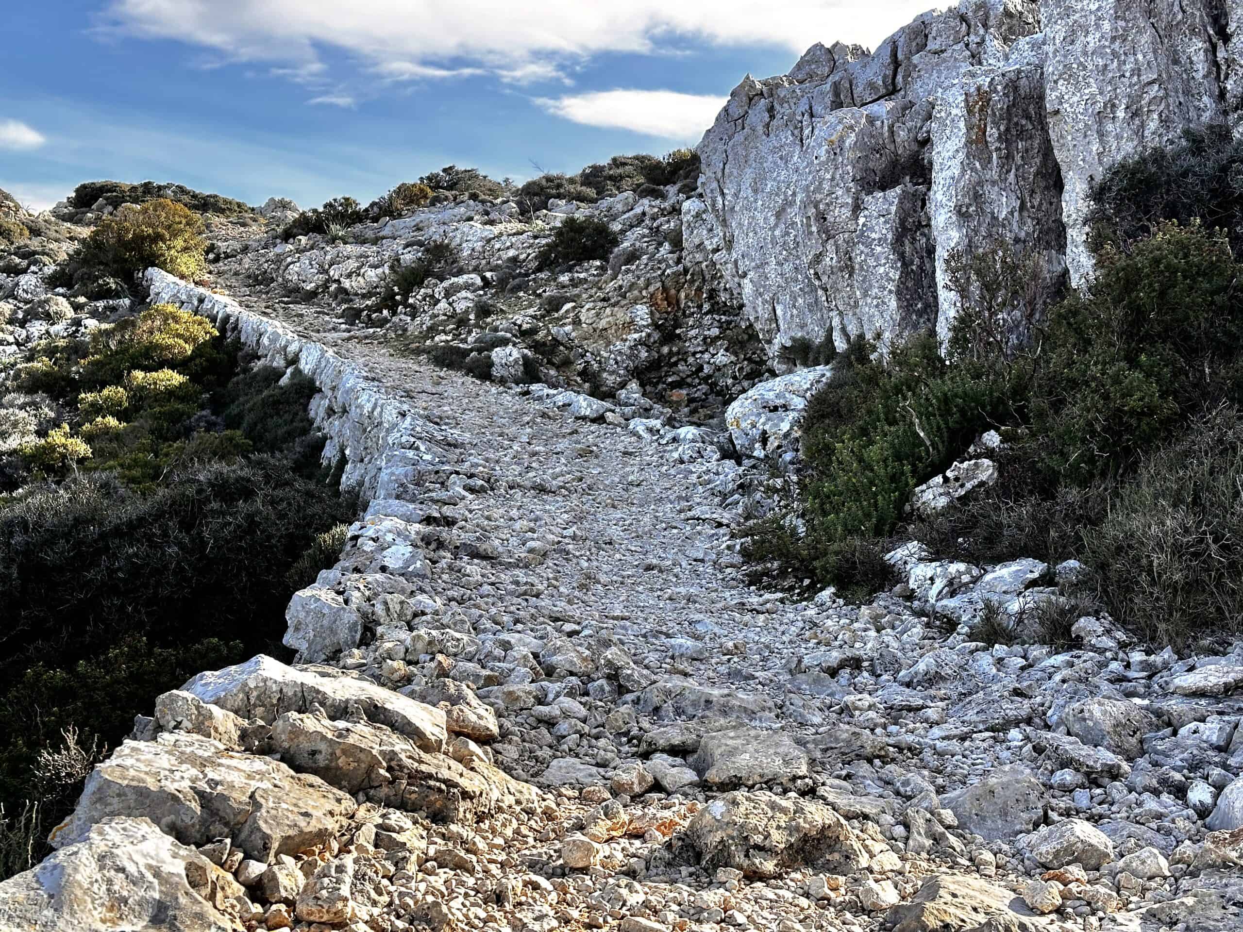
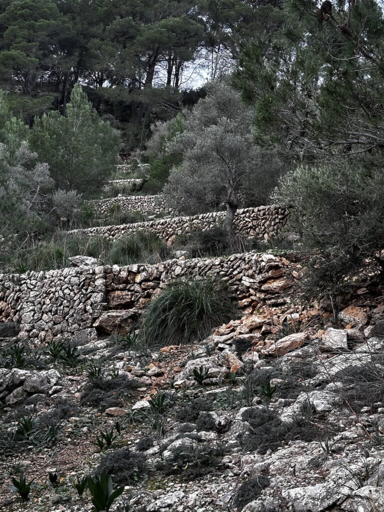
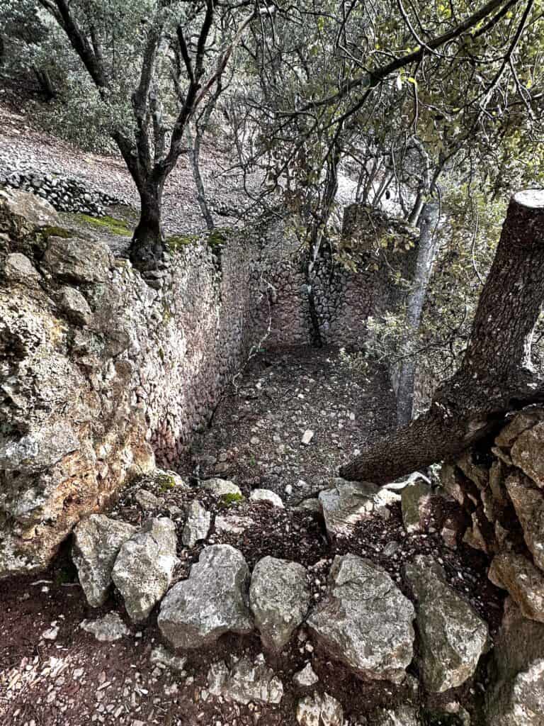
The GR221, also known as the “Ruta de Pedra en Sec” or “Dry Stone Route,” is renowned for its traditional stone walls, terraces, and historic water channels that line the trail, showcasing the ancient agricultural practices of the region.
The route passes through or near various charming towns and villages, where you can discover local culture, admire the amazing architecture, and eat your heart out with the local cuisine along the way.
I flip-flopped this hike and started at Sóller, heading south to Port d'Andratx, and then made my way back to Sóller, before heading north to Pollença. I did this because I had a work project I needed to complete and had to have my laptop available mid-hike. However, that aside, it was actually a great way to do it — and Sóller was a fantastic town to break up the hike.
So without further ado, let's check out this hike.
In this Guide I will Cover:
- Signage on the GR221
- GR221 Mallorca Map
- Best time to Hike the Dry Stone Route
- Food on the GR221
- Water Availability
- Safety when Hiking the GR221
- Refugi and Wild Camping
- Highlights
This article may contain affiliate links. If you make a purchase using one of these links, we may receive compensation at no extra cost to you. See our Disclosure Policy for more information.
GR221 Overview
|
Location: |
Serra de Tramuntana, Mallorca, Balearic Islands, Spain |
|---|---|
|
Distance: |
Approximately 140 km |
|
Elevation Gain: |
6095 m |
|
Highest Point: |
1315 m |
|
Duration: |
8 – 9 days one way |
|
Track Type: |
Point to Point |
|
Grade: |
Moderate to Strenuous (varies by section) |
Navigating the GR221 with Signage and Maps
Signage on the GR221
The GR221 is signposted, but how well varies. In the valleys and easily accessible areas, the signage is quite clear. However, in more remote areas, it tends to leave a lot to be desired.
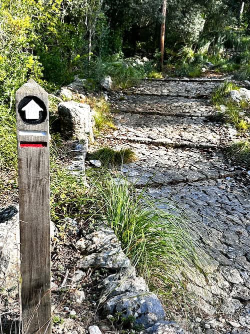
The signage for the GR221 has recently been upgraded to a singular wooden post with two stripes – one red and one white, depicting the GR221. Accompanying the stripes is a white arrow pointing to the direction of travel. Note – if the post does not have a red AND a white stripe, do not follow it – as it will be signalling another track leading off elsewhere.
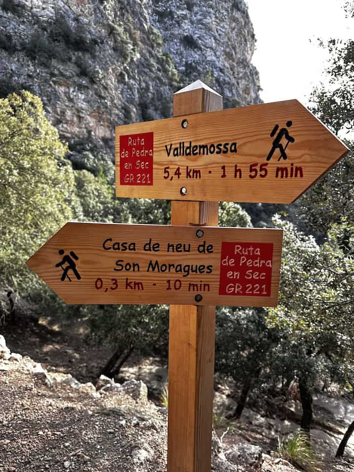
Near towns or points of interest, you'll find wooden signs displaying ‘GR221' in red, along with the name of the town, refugi, or other landmark, accompanied by the distance in kilometres and the estimated walking time.
Here's the problem: once you get to remote areas, the signage can disappear altogether. It's in these remote regions, especially within the mountainous terrain where goats and sheep have created wildlife tracks, that signage is most needed as it's very easy to get off course.
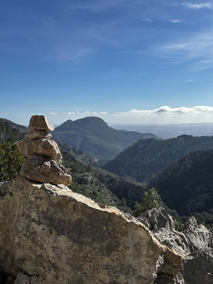
Previous hikers have built cairns, yet additional measures—such as simple star pickets topped with fluorescent caps—could greatly aid navigation in areas like Puig de Galatzó, and it seems an opportunity for improvement by the Consell de Mallorca.
It's for this very reason that a GR221 Mallorca map is essential.
GR221 Mallorca Map
Paper Map
Probably the best choice is ‘Trekking the Mallorca GR221′ by Andrew McCluggage, which includes a detailed guidebook—great for exploring historic sites—and 1:25k maps. The KnifeEdge Maps and Guidebooks are excellent.
If you just need a map, a good topographic one can be purchased at Kenia Outdoor in Palma, upon arrival.
You will also need a compass and the knowledge to use it. I recommend taking a navigational course. Just like first aid, navigation is a good skill to have.
There are in-person training sessions offered in most areas, but if you can't get to any of these, or need to brush up on your skills (like I did), the The Columbia River Orienteering Club has excellent tutorials on YouTube. They also have tutorials on using GPS systems such as GAIA and similar.


GPS Enabled Maps
A good GPS system allows you to download and follow a map while your phone is offline. I used Gaia GPS as it uses official government topographic maps and follows designated tracks.
The Czechs have developed an GPS enabled app called Mapy which is easy to follow and full of helpful information. It uses crowdsourcing to add comments and updates on water sources and campsites. I didn't use it, but every Czech I met raved about it, and from my understanding, it works a very similar way to FarOut Guides in the USA.
GR221 Elevation
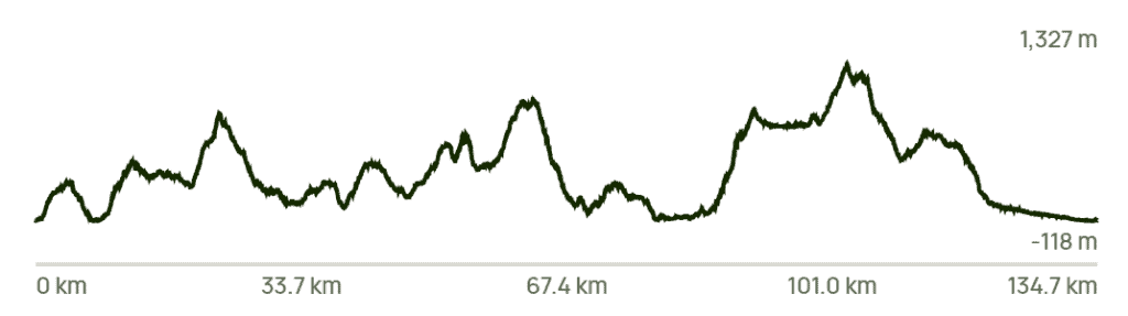
Know Before You Go
The Dry Stone Route Description
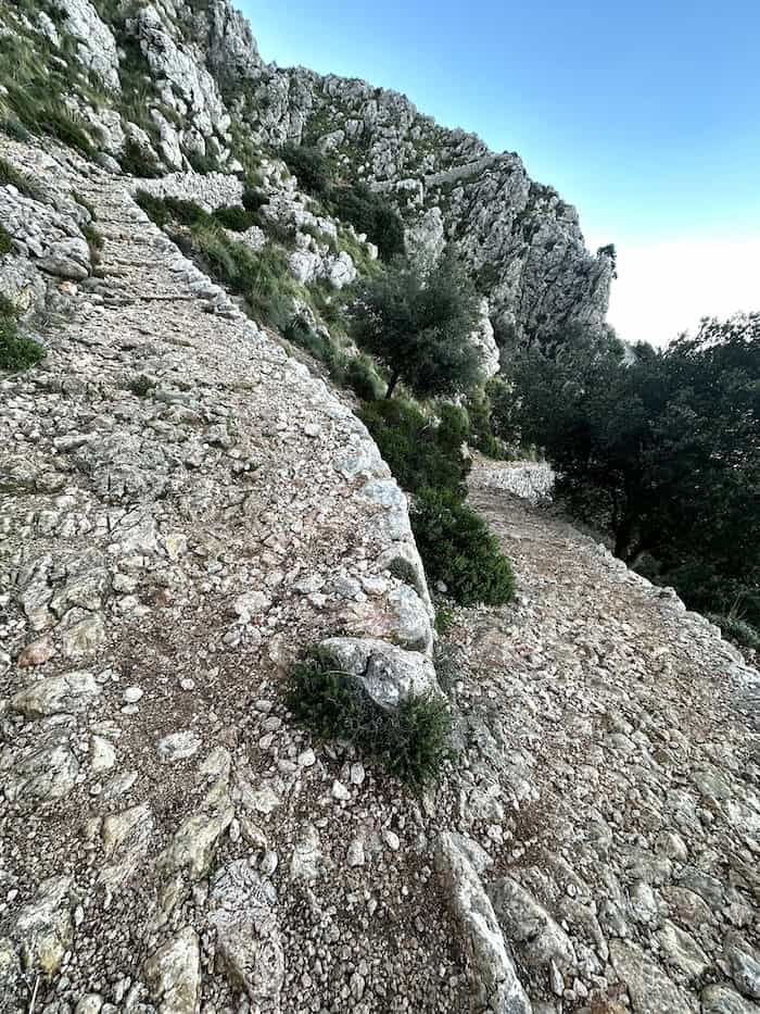
The extensive network of stone paths which originated around the 13th century, was essential for daily life and had to be passable by both people and pack animals. For this reason, the majority of the path includes switchbacks to ease the steep mountainous climbs and descents.
The dry stone paths can be uneven, so sturdy hiking boots or shoes are recommended. The stones set into the paths are pretty much solidly fixed, and it's unusual to find loose stones along the pathways—Yay to centuries of travellers levelling the paths.
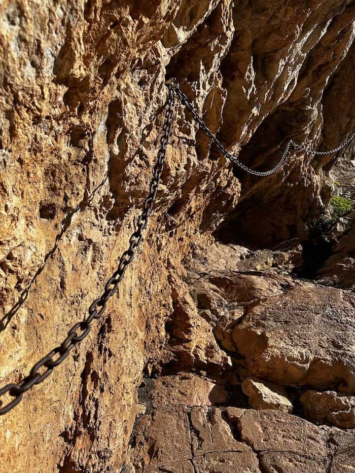
There are a couple of steep climbs. Between Sant Elm and La Trappa, you will need to do a bit of rock scrambling, and also there is a steep section leading over the pass heading north to Refugi Tossals Verds. The steep section in question has chains so you are good.
Options and Direction to Hike the GR221
As the GR221 Dry Stone Route is an ancient connection between villages and towns that facilitated trade and social interaction, it can be walked in either direction. The trail traverses the Serra de Tramuntana, running from the northwest to the southwest of the island.
As I started in Sóller, heading south, and then from Sóller to Port de Pollença, I had the best of both worlds. I must say, I much preferred heading north. You have the sun at your back (always a win), and you're not taking photos into the sun. Plus, when descending into Lluc, I was counting my blessings! It looked like a tough climb for the folks coming up the other way.

Like This?
We'd love you to share this great guide!
Best time to Hike the GR221
Generally, Spring and Autumn are the best times to hike the GR221. Let's take a look at each season.
In spring, the GR221 comes alive with wildflowers and the fresh greenery of new growth. Temperatures are mild, typically ranging from 10°C to 20°C, which makes for comfortable hiking conditions. Moreover, you are more likely to find water in streams south of Sóller as well, before the long, dry summer sets in.
Autumn is characterised by a crispness in the air, with temperatures comfortably ranging from 15°C to 25°C. The intense summer heat gives way to clear skies and mild conditions, ideal for long treks. Additionally, the terraces and groves come to life with an abundance of ripe fruits, adding seasonal charm to the landscape.
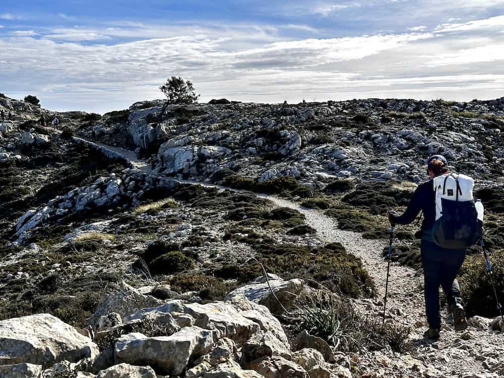
Winter, which is when I hiked, had some very cold nights, with average temperatures ranging from 5°C to 15°C. Many of the refuges were closed. However, I wild camped with a decent sleeping bag, making me pretty much self-sufficient. It's important to be mindful of the shorter daylight hours and colder nights during winter. The upside is having the trails mostly to yourself.
Summer can be dangerous for hiking the GR221 due to excessive heat and the risk of dehydration, especially south of Sóller where water sources are scarce. If you do decide to hike the GR221, whether in its entirety or by section hiking, in summer, please read my essential guide for hiking in the heat so you can equip yourself with the knowledge of best practices and learn to identify dehydration and hyponatremia.

Supply and Resupply Points
Gas
Gas supply is probably the most common product topic in the GR221 Facebook Group. The good news is, if you're buying your food locally, you might not need as much. I noticed a difference since I didn’t have to hydrate meals every night.
Many people will stash partially full gas canisters at the airport and post images or GPS coordinates in the FB group. It's an awesome way to pick some up, especially if you're heading out before Decathlon opens.
Food on the GR221
If you're planning to stay at the refugis, then you'll probably purchase your dinner there or at a nearby restaurant. I wild camped the GR221, so my dinner situation was a bit different.
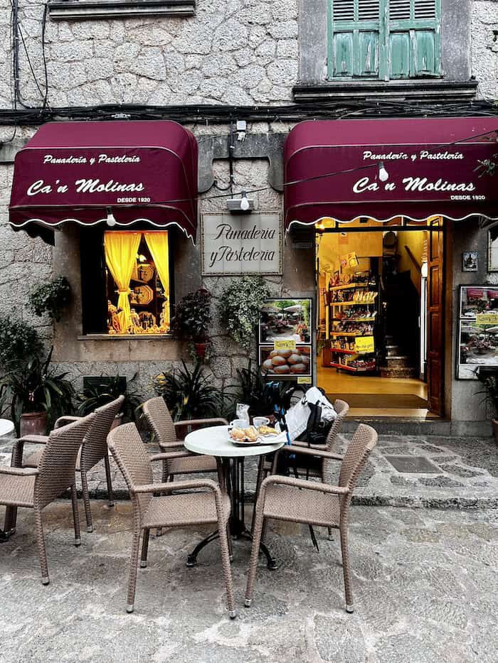
Mallorca boasts a wide array of delicious foods. My all-time favorites were Empanadas Mallorquinas – Mallorcan Mini Pies. They have a wheat-based dough, which is unfortunate for celiacs, but a bakery will often have a varied number of fillings catering to different tastes and dietary requirements. My go-to filling ended up being tuna and peas. Yep!
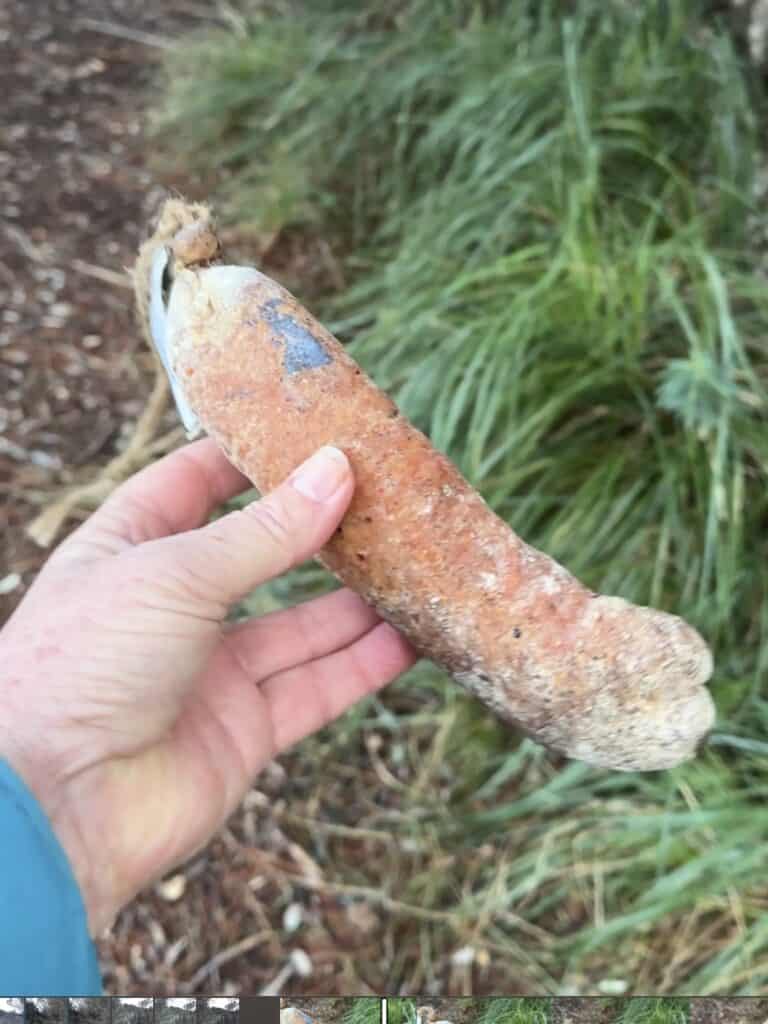
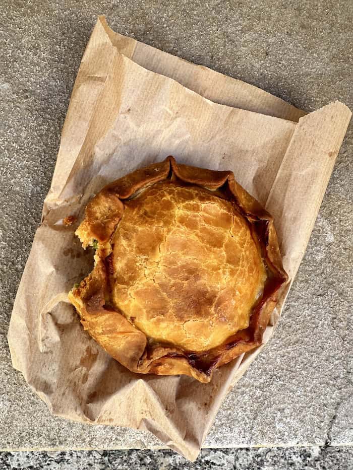
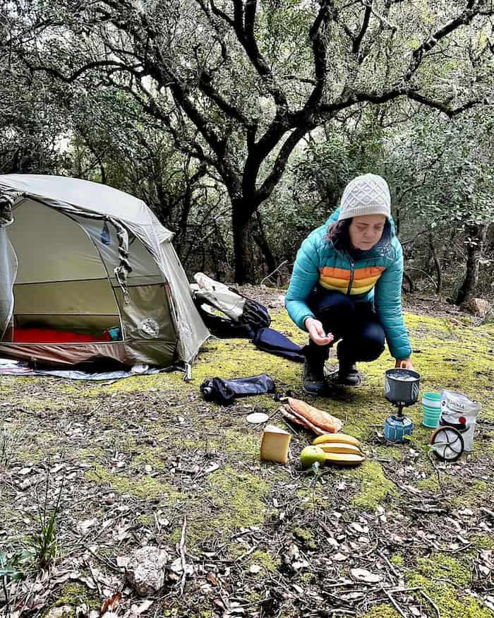
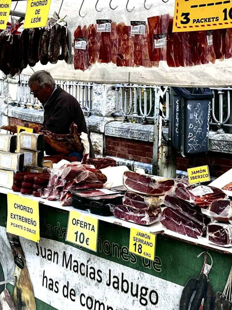
Visiting a mercat (market), you can find a plethora of yummy foods that will last a few days in your backpack. Every night, I sat down to an assortment or cheese, meats, fish and bread. You want to lose weight on the GR221? Think again.
Here's a few items you might find in a local market to pair with a nice artisanal bread:
- Botifarró: A traditional Mallorcan sausage, similar to black pudding.
- Queso de Mahón: A cheese with a buttery, sharp flavour.
- Mallorcan Almonds: Very fresh!
- Honey (Miel): Mallorcan wildflower honey.
- Cap Roig: A kind of fish paté made from a local rockfish.
- Sobrasada: A raw, cured sausage which is spreadable.
The supermarkets also sell various food items such as noodles and pesto, among other things. I often visited one at least every second day, since the trail passes through or very close to towns.
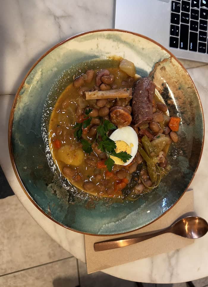
If you are timing your hikes to be at the high points during the night and in the villages around noon, then the ‘menú del día' or ‘menu of the day' is an excellent option for refuelling. This usually encompasses a 3-course meal (entrée, main course, and dessert), plus a drink like a glass of beer or wine.
Water Sources
Wild camping south of Sóller may pose challenges in finding water sources, as the Serra de Tramuntana in that region lacks the abundant fresh spring water found to the north of Sóller.
Water Availability South of Sóller.
There is an extremely dry section – especially stages 1 and 2. There is the odd stream on the map, but when I got there it was dry or non existent.
You will need fill up at the villages and towns. I passed a number of farm houses that had signs advising that they don't sell water. You really need to carry 3 plus litres for a day hike – hut to hut.
If you are wild camping on the GR221 and planning to camp higher up, you will need to “dry camp.” This means you must carry enough water for the evening, overnight, and the following day to last until you reach a water source. This could look like 5-6 litres.
If you have ever hiked the incredible Larapinta Trail, in the Red Centre of Australia, you will have experienced dry camping and the amount of water needed. It is all totally doable – you just need to plan.
I take along a 3L Hydrapak soft water bottle, that folds up small when not in use. It also fits my Katadyn water filter – which is especially necessary if taking water from streams where livestock are present (most of Mallorca).
The most important thing is to not get dehydrated. Carry enough water to last you the entire day throughout these sections. On the flip side, do not ‘camel up' or try to drink too much, as you might run the risk of hyponatremia. Check out our useful guide on ‘Hiking In The Heat' to learn about dehydration and its counterpart, hyponatremia.
Water Availability North of Sóller.
Happy Days! The water situation this end of the Serra de Tramuntana is like chalk and cheese compared to the south.
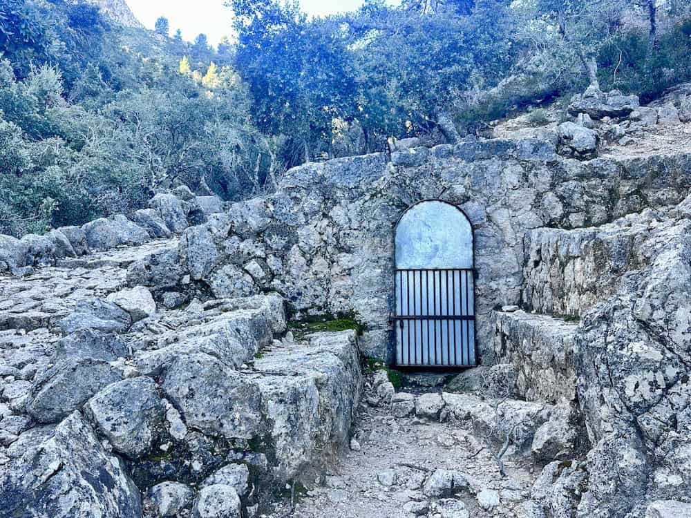
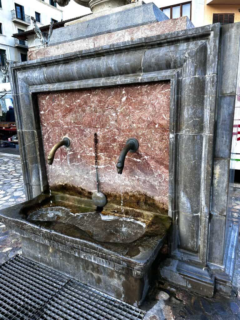
Nestled within the Serra de Tramuntana mountain range, north of Sóller, lies a network of natural public springs that have been a source of sustenance for centuries. Many feature cute little doors to prevent wildlife from entering. The water is crystal clear, ice-cold, and delicious!
Historically, these springs were important to the survival and development of the local communities. The Moors, who occupied Mallorca from the 10th to the 13th centuries, were masterful hydraulic engineers and established an intricate system of water channels known as ‘atzebuch,' which harnessed the flow from these natural springs for agriculture and daily use.
As part of UNESCO's declaration of the Serra de Tramuntana as a World Heritage Site in 2011, these springs are recognised not only for their natural significance but also for their cultural impact.
Regardless, these springs are the icing on the cake. Make you use clean containers to fill up and never wash yourself or anything else in these springs – they are purely for drinking. Do you need to filter or treat this water? I didn't, the local didn't – but it is your decision to treat or not.
Safety
Hiking the GR221, or the “Ruta de Pedra en Sec”, although the route passes through or skirts the edges of villages, does come with important safety considerations:
- Weather Conditions: The weather in the Serra de Tramuntana can change rapidly. Heat exhaustion is a risk during the hot summer months, while cold fronts can bring unexpected cold and wet conditions in the winter.
- Terrain: The trail includes some challenging terrain such as steep inclines and declines, rocky paths, and potentially slippery surfaces.
- Navigation: Though the trail is marked, it’s possible to get lost, so hikers should carry an updated map or GPS device.
- Water Availability: Water sources may be scarce, especially during the summer. Hikers need to carry sufficient water and know the locations of springs or towns where they can resupply.
- Physical Condition: The GR221 is physically demanding. Hikers should be in good health and have a realistic assessment of their fitness levels.
- Emergency Services: Know the emergency protocols and contact numbers. Cell phone service is unreliable in the mountains – especially the southern end.
- Gear: Carry a first-aid kit, headlamp, and extra food – just in case. If you are hiking hut to hut, I suggest carry a small emergency bivvy in case you get caught out.


Bookings and Fees
There are no fees or booking requirements to walk the GR221 itself. However, you will need to secure a reservation at the ‘refugis' if you intend to stay in them, as they tend to fill up quickly during the hiking season.
If you are wild camping on the GR221, you will still need money for gas unless you are gifted a canister at the airport. You will also need money for bus transport to and from the trailheads and for any food along the way. That said, the buses are cheap and so is cooking your own food.
The GR221 Accommodation Overview
Dotted along the GR221 are a series of refuges where you can rest for the night. These range from basic shelters to comfortable cabins and even luxurious rural hotels, offering a variety of experiences.
GR221 Wild Camping
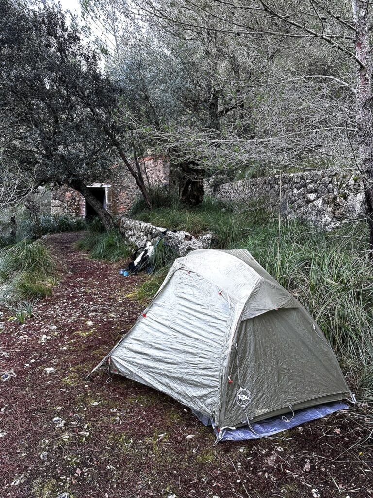
Wild camping is fantastic on the GR221 as there are so many flat places to pitch your tent, away from the main track. However, wild camping requires an understanding and commitment to practicing Leave No Trace Principles beforehand.
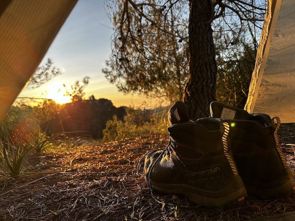
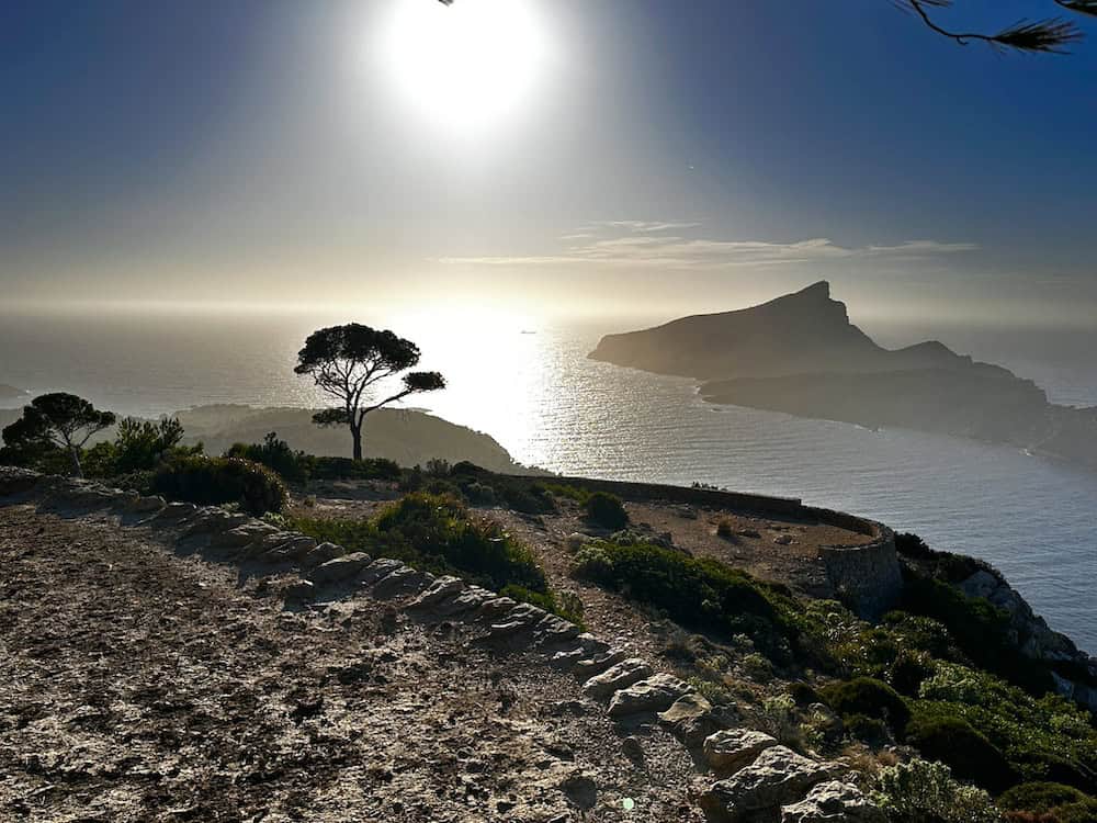
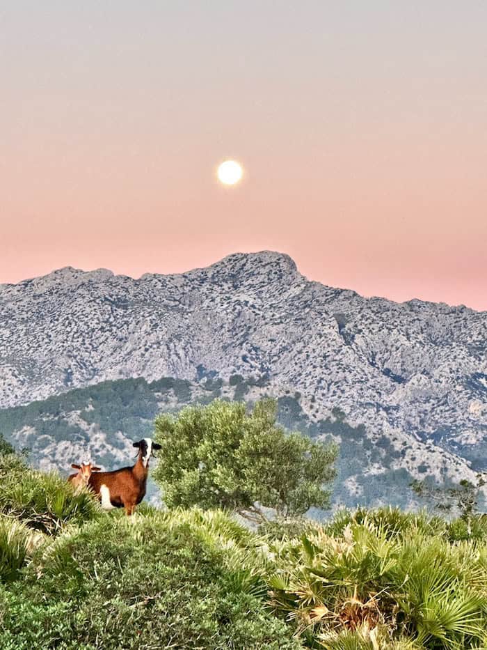
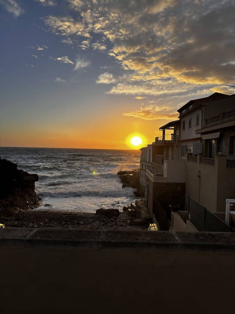
There were some insanely beautiful places to sleep on the route, especially higher up to take advantage of the sunset over the ocean south of Sóller or the views in the north. Just be mindful of where you pitch and ensure you are not on private property (it is always sign-posted). Also make sure you practice LNT principles, set up after sun-down and strike camp before sunrise.
Main Villages and Access Points Along the GR221
- Port d’Andratx – Start of the trail with access from Palma.
- Sant Elm – A charming coastal village with beautiful seaside views.
- Valldemossa – A quintessentially Mallorcan town known for its historic hermitage.
- Deià – A stunning village with terracotta houses nestled in the hills.
- Sóller – A picturesque town perfect for restocking supplies and exploring local culture.
- Lluc Monastery – A historical monastery which is a highlight on the route.
- Pollença – The endpoint of the route with rich cultural heritage.
Highlights of my Hike of the GR221
All in all, it was an amazing hike – but there are a few places that really stood out. Here they are in no particular order.
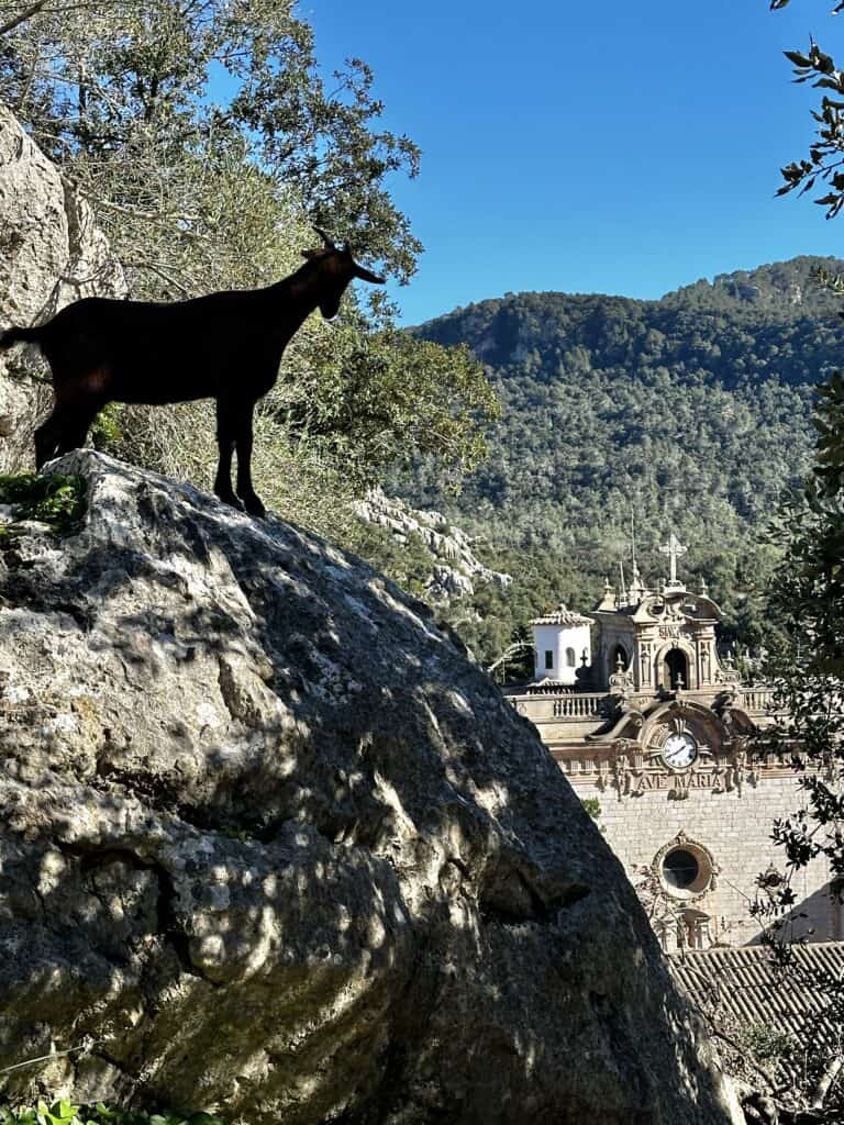
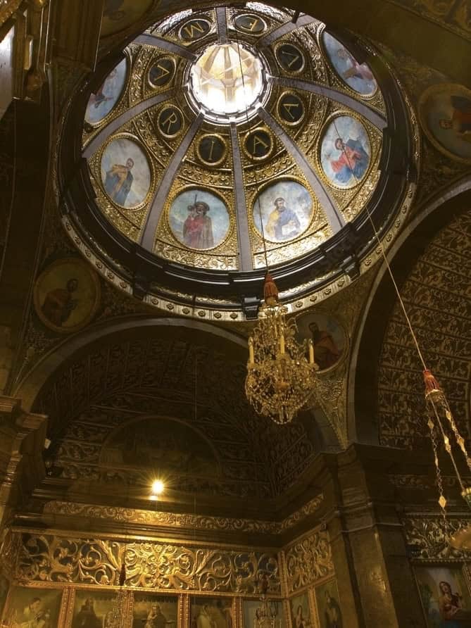
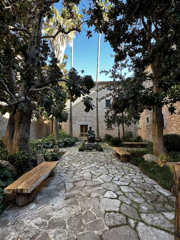
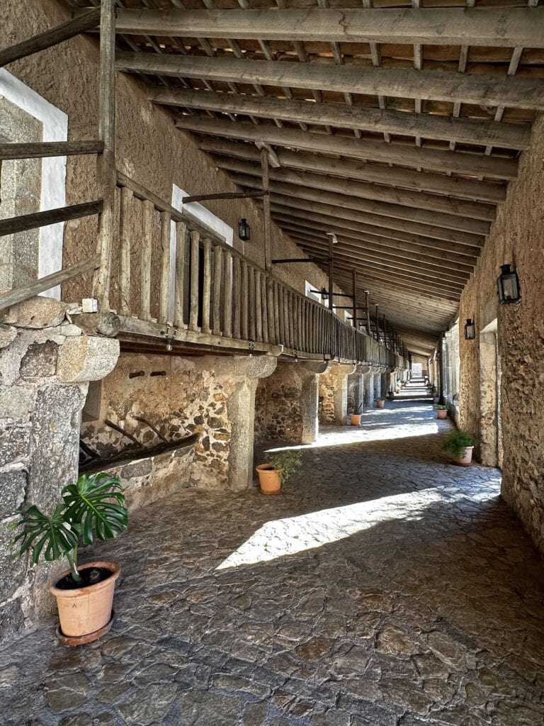
Santuari de Lluc (the Lluc Monastery)
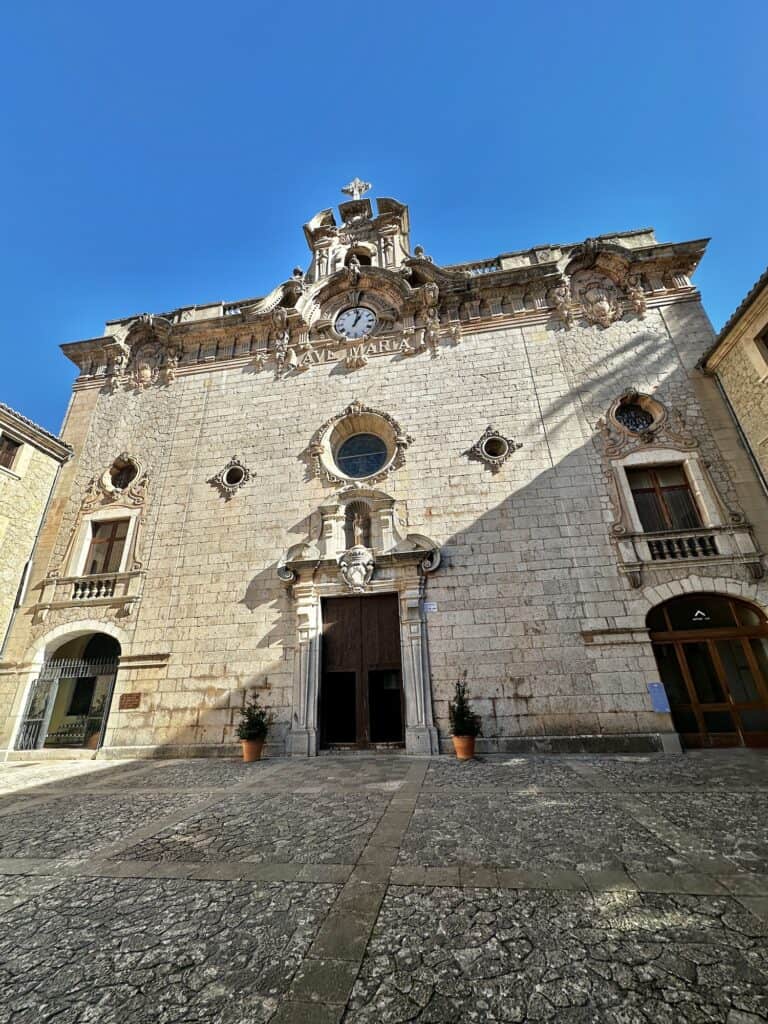
I absolutely loved Lluc! From the dramatic descent down into the valley via the longest drystone path, to the tranquility of the Santuari de Lluc – it was a “rest day” for me, just enjoying the place.
Known in Catalan as ‘Santuari de Lluc,' the Lluc Monastery has been a site of pilgrimage since the 13th century. The monastery's history is intertwined with a legend; it is said that a Moorish shepherd boy found a statue of the Virgin Mary on the site where the Lluc Monastery now stands.
The statue, known as the “Mare de Déu de Lluc,” is revered as the patroness of Mallorca. The monastery is also renowned for its boys' choir, known as Els Blauets de Lluc, or “The Blue Boys of Lluc.” Dating back to the 16th century, this choir is one of the oldest in Europe. The youthful voices of Els Blauets in close proximity to the sacred “Mare de Déu de Lluc” create a profound and moving spiritual atmosphere, connecting visitors to the deep religious heritage of the sanctuary.
I left my pack at the reception and walked around the monastery, visiting the museum, attending the mass to listen to the amazing choir, and walked up the hill to see the site where the “Mare de Déu de Lluc” was found, along with the breathtaking vista. The place had a really lovely atmosphere.
Valldemossa to Deià
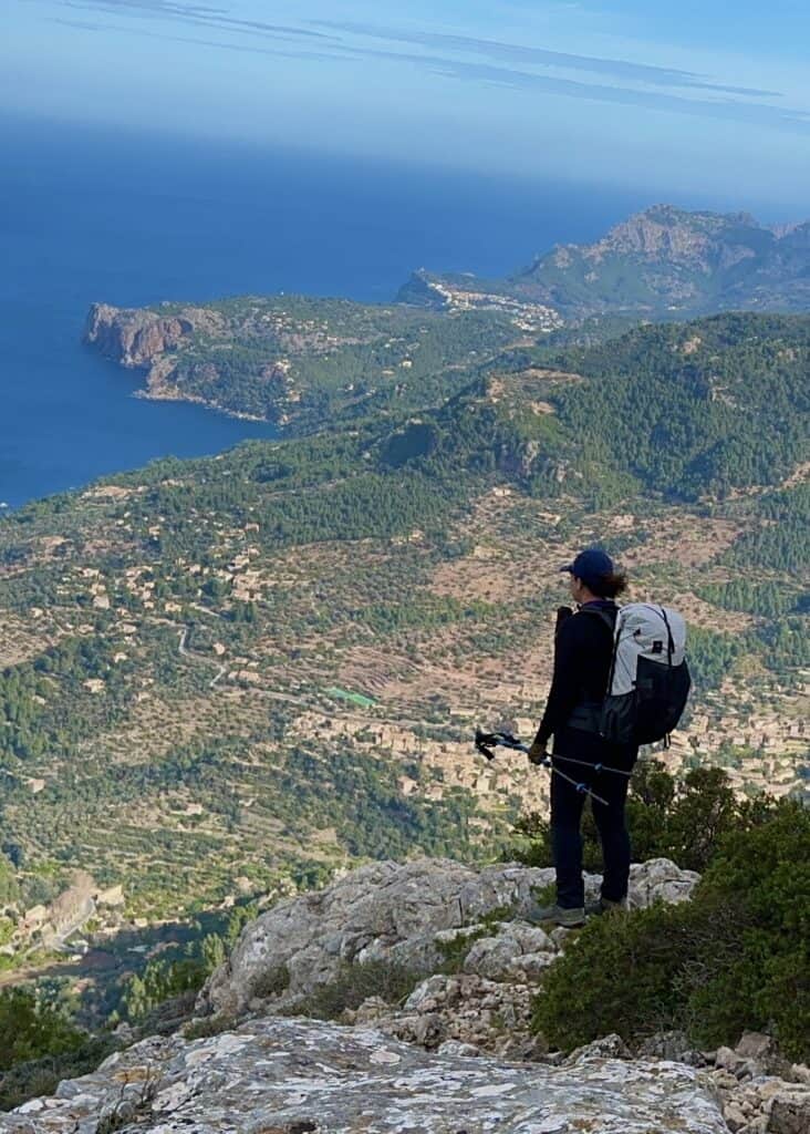
The section 6 trail from Valldemossa to Deià is regarded as one of the most scenic and captivating parts of the GR221. This section offers hikers a stunning mix of rugged mountain landscapes, picturesque coastal views, and the charming villages of Valldemossa and Deià, making it a firm favourite.
Leaving Deià, a scenic village known for its artistic heritage and stunning clifftop views over the Mediterranean, you start a steep ascent to the pass between the two villages. The climb is moderate to challenging to reach the top but the views are sensational.
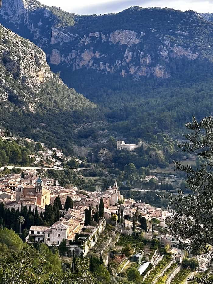
Eventually, the trail leads to Valldemossa, a town that is equally enchanting, with its cobblestone streets, stone houses, and the remarkable Real Cartuja Monastery, where the composer Frédéric Chopin once lived.
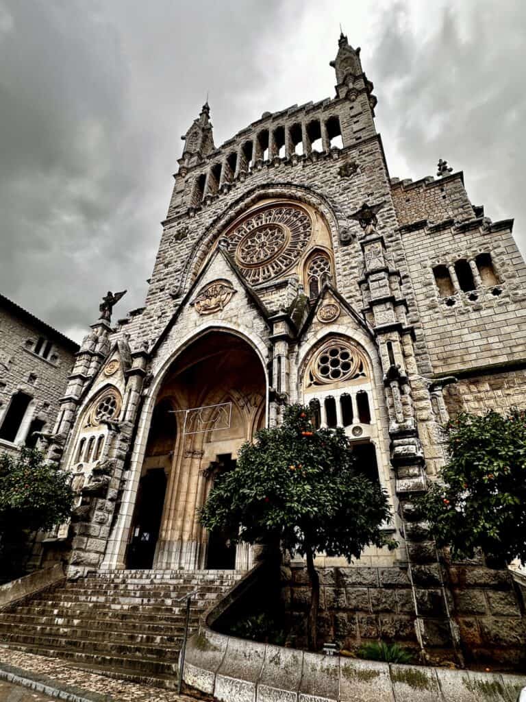
Sóller
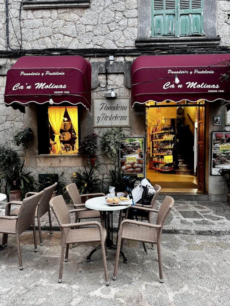
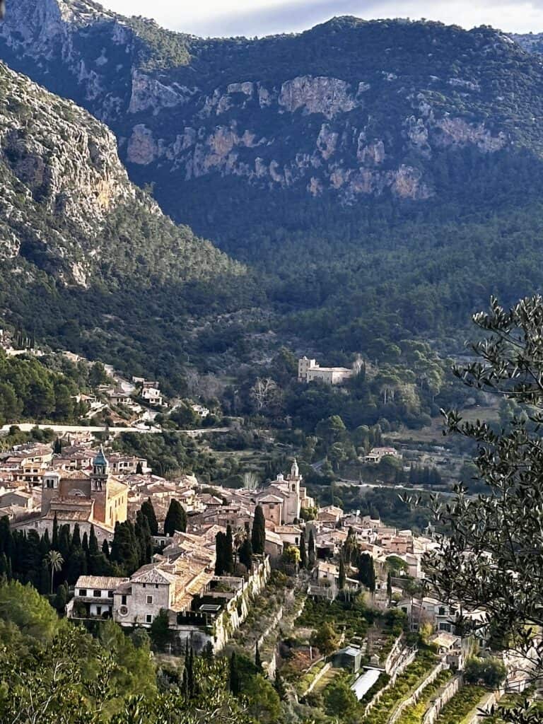
Sóller was my base before, mid-point and after my hike – by the time I had left, I really felt an infinity to the gorgeous little town.
Situated in the lush valley surrounded by the Tramuntana mountain range, Sóller is famed for its orange groves and terraces of ancient olive trees. It actually has evidence of human habitation dating back to the Talayotic period (1300 BC).
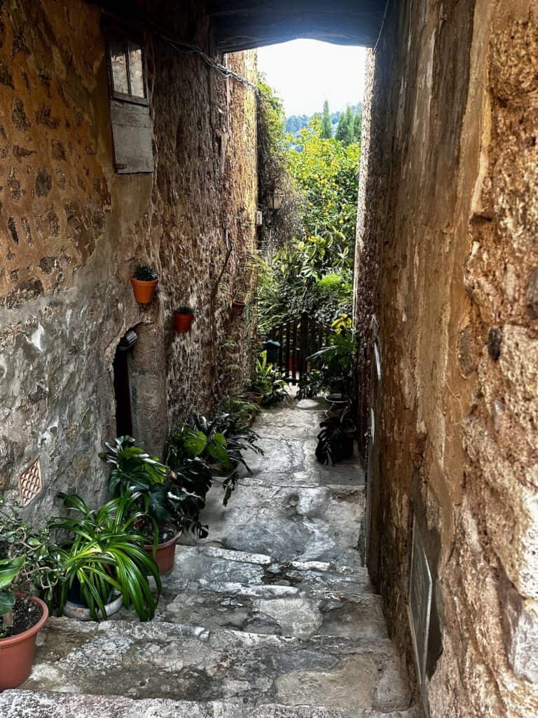
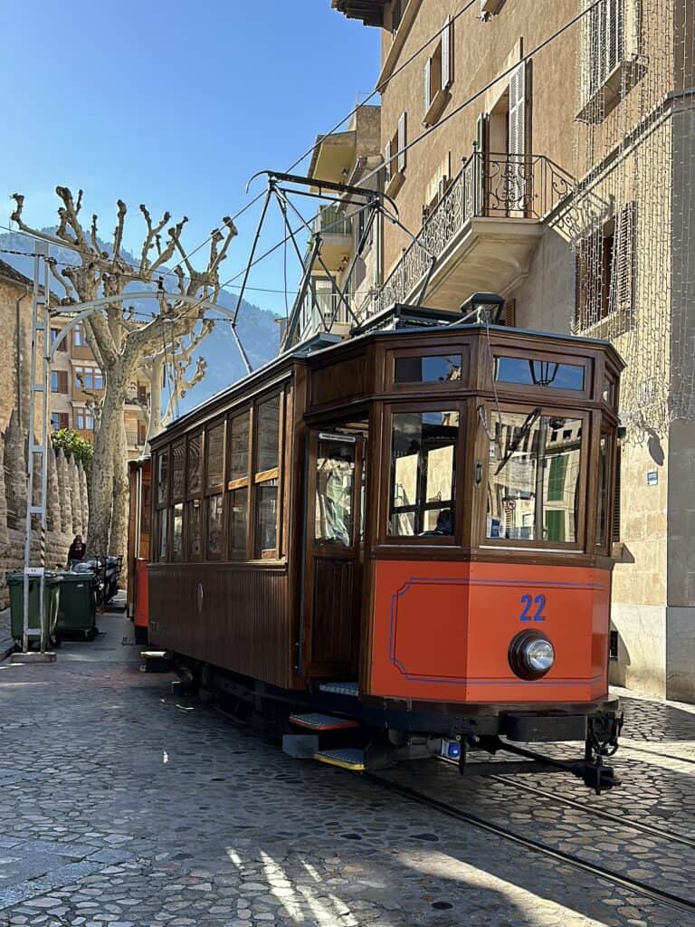
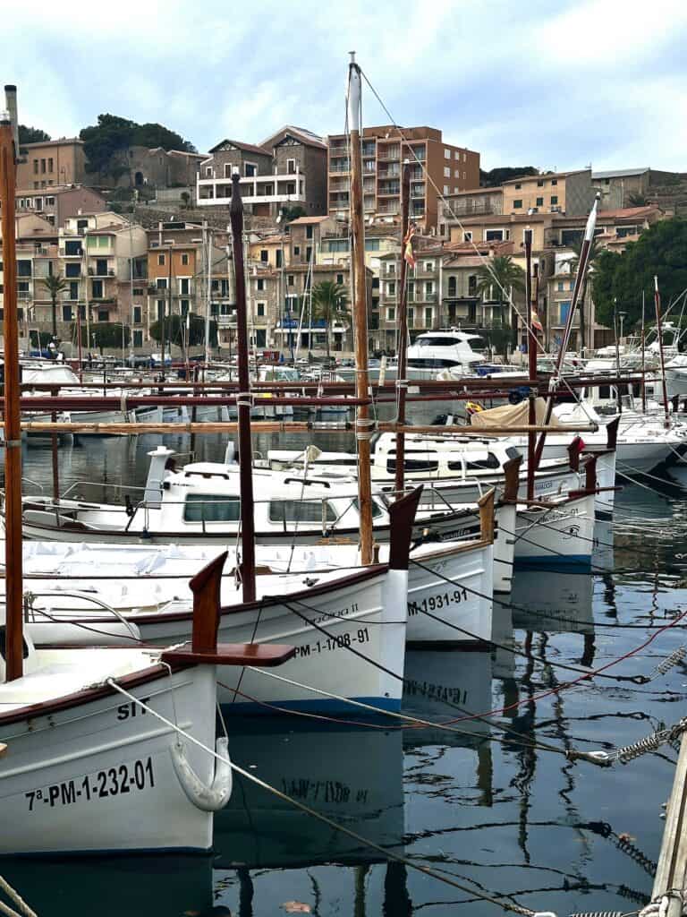
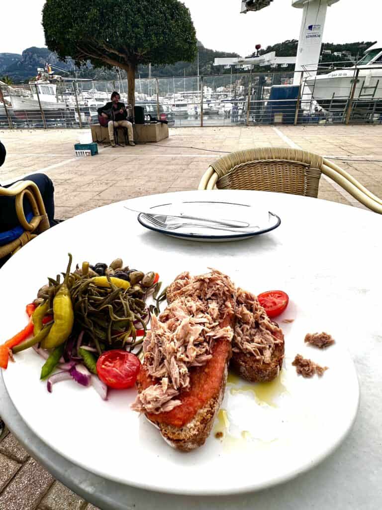
Nowadays, its a bustling town with a market, cute cobblestone streets, a vintage wooden tram that runs through the town and all the way to the port during the summer months. Speaking of Port de Sóller, its a charming port – where I sat and ate a local dish of ‘pa amb oli' topped with tuna, while I listened to a local Malorcan sing Jimmy Barnes.
There are a plethora of restaurants in Sóller, but my favourite, with an €11 all-day ‘menú del día', and a really decent wine for €2 a glass was So Butigueta.
I stayed at Casa Margarita, which was an awesome place. Margarita is an lovely host and went out of her way to help me.
- Navigating the Overland Track Solo
- Hiking Frenchmans Cap -Tasmania’s Iconic White Peak
- Hiking the Rees Dart Track – Mt Aspiring National Park
- The Rakiura Track – A Great Walk on Stewart Island
- Traverse Walls of Jerusalem to the Overland Track via Lees Paddock
- Hiking The Tahoe Rim Trail – A Guide for Overseas Visitors
- Conquering the Gold Coast Kokoda Challenge
- Plan Your Larapinta Trail Sections, Best Time of Year, Resupply, and Transfers
- Larapinta Trail Food Essentials and Nutrition Plan
Frequently Asked Questions
Is GR221 difficult?
The GR221, or the Dry Stone Route, offers varying levels of difficulty across its sections. Some parts are leisurely walks suitable for most hikers, while others present challenging terrain that can be demanding. It's essential to assess each segment individually, considering factors like elevation, distance, and trail conditions.
How many days for GR221?
The GR221 can generally be completed in 6 to 8 days, depending on your pace and whether you opt for shorter or longer daily hikes. Each stage varies in difficulty and length, so some may prefer to take extra days to enjoy the scenery or explore the towns along the route.
What is the most beautiful part of the GR221?
The most captivating part of the GR221 tends to be subjective, but the Deià to Sóller stretch is particularly renowned. Its paths wind through ancient olive groves and around craggy mountain peaks, offering dramatic coastal views alongside the Mediterranean's azure waters, and conclude in the charming valley town of Sóller, a blend of natural beauty and cultural richness.
What is the GR221 path?
The GR221, known as the Dry Stone Route, is a long-distance hiking path through the Serra de Tramuntana mountain range on Mallorca. It follows historic pathways connecting stone-built villages, olive groves, and terraced landscapes, showcasing Mallorca's natural and cultural heritage across approximately 140 kilometers from Port d'Andratx to Pollença.
What is the difference between the GR221 and the GR223?
The GR221, or “Ruta de Pedra en Sec,” is a long-distance walking trail traversing the Serra de Tramuntana mountain range on Mallorca, featuring dry stone constructions and terraced landscapes. In contrast, the GR223, known as the “Camí de Cavalls,” circles the island of Menorca, following an ancient path that spans the coastline, a different Balearic landscape dominated by coastal scenery.
What direction is the GR221?
The GR221 traditionally runs from southwest to northeast across Mallorca. It starts in Port d'Andratx and stretches across the Serra de Tramuntana mountain range to end in the town of Pollença. Hikers can trek in either direction, though many choose to start in Andratx and head towards Pollença, following the trail through diverse mountain and coastal landscapes.
Can you swim in the ocean in Mallorca in April?
Swimming in the ocean in Mallorca in April is possible, as the Balearic Islands enjoy a mild Mediterranean climate. However, water temperatures are cooler in spring, typically ranging between 14-16°C (57-61°F), which some may find too brisk for comfortable swimming. Wetsuits are recommended for those who are sensitive to the cold but still wish to enjoy the water.
What is the best time of year to hike the GR221?
The ideal time to hike the GR221 is during spring (April to June) or autumn (September to November). During these months, the weather is typically mild, and the landscape is either lush and full of blooms or beautifully mellow with autumn colors. Summers can be quite hot and dry, while winters may bring unpredictable weather and some trail closures.
What do I need to pack for hiking the GR221?
For hiking the GR221, essential packing includes sturdy footwear, layered clothing for changing weather, a rain jacket, a sun hat, sunscreen, a map or GPS device, adequate food and water supplies, a first aid kit, and a headlamp. Additionally, consider a sleeping bag for overnight stays in refuges and a portable charger for electronic devices.
What wildlife might I see on the GR221?
On the GR221, you may encounter diverse wildlife, including bird species like the Balearic warbler and black vulture. The Serra de Tramuntana is home to mammals such as the endemic Balearic shrew, goats, and martens. Reptiles like the lilford's wall lizard, which is unique to the Balearics, can also be spotted along the route.