
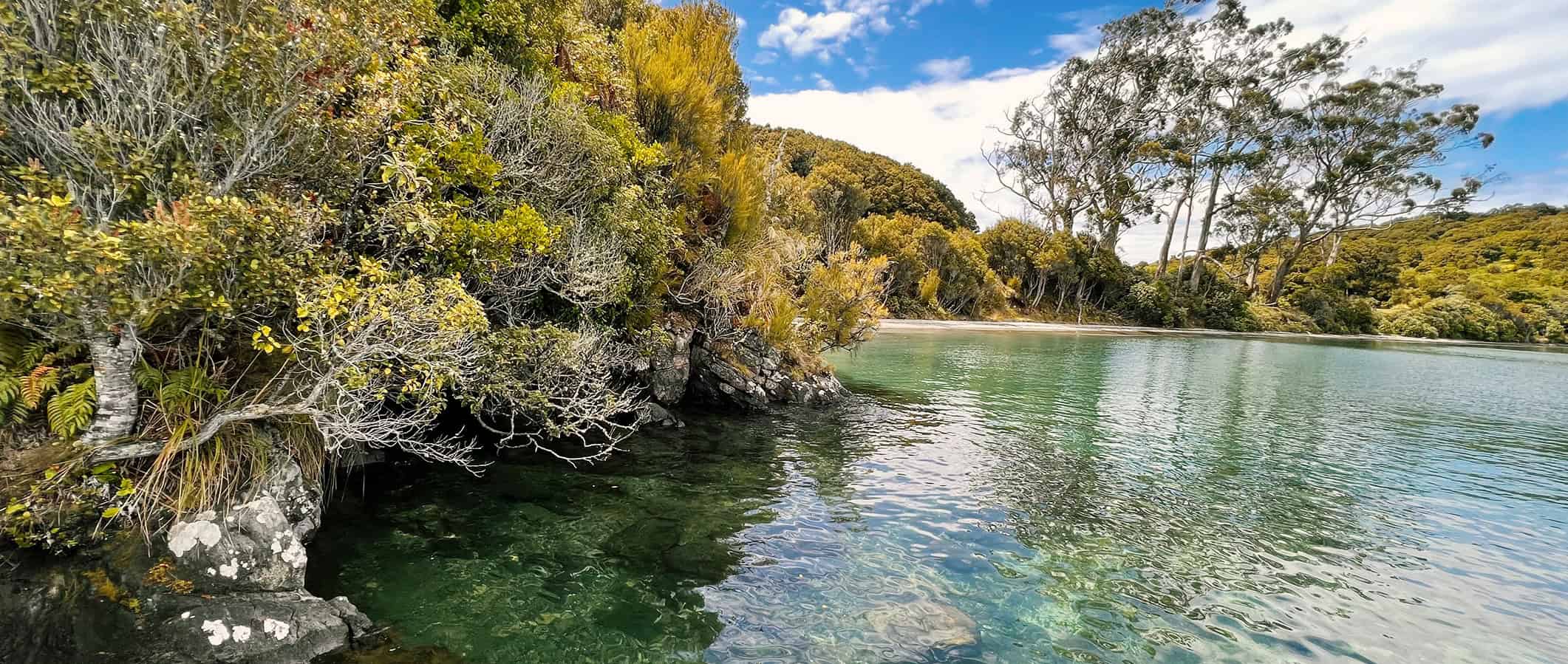
The Rakiura Track – A Great Walk on Stewart Island
Hiking the Rakiura Track had been on my radar for many years. Born and raised on the North Island of New Zealand, Stewart Island had always seemed rather exotic.
I actually remember the wow factor hitting me in primary school when studying early settlers and whaling, and as an 8-year-old, trying to imagine what it was like to live on a small island.
Fast forward nearly 50 years, when on a hiking trip that included the Rees Dart Track and Greenstone and Caples tracks, I jumped at the chance. Landing in Oban, Stewart Island, filled me with a sense of excitement and awe that continued throughout our entire stay.
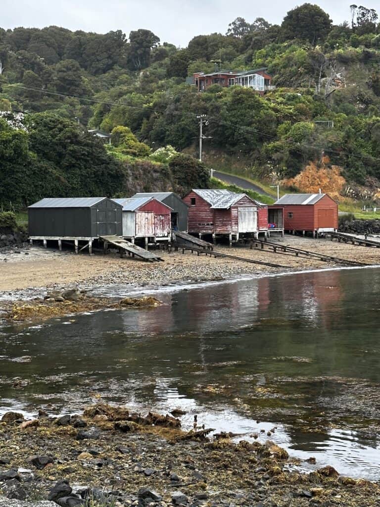
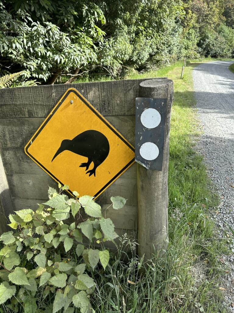
Stewart Island is also known by its Maori name, Rakiura – the track's namesake. Rakiura means Land of the Glowing Skies, after the Aurora Australis, which can most likely be seen during winter (May to August) and the spring equinox in September. With respect to Maori, I will now refer to the island as Rakiura.
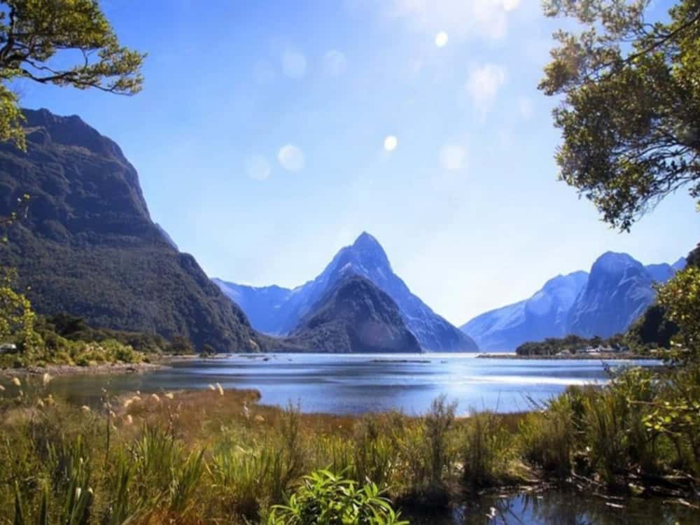
The Rakiura Track, is also known as the Great Walk on Stewart Island. The less-hiked Rakiura Track's flora and fauna, the ease of the trail, Maori history, and the sheer beauty make this track stand out.

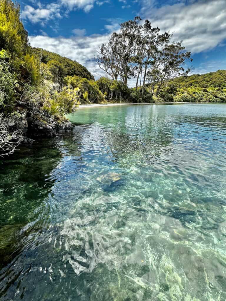
The Rakiura Track is considered a moderate track. I'd call it easy. The sections are short, and the circuit could be hiked in 2 days instead of 3 or even one long day for the hardcore.
That being said, the Rakiura Track is a perfect entry-level hike for those just starting out or getting back into it. The hike is intended to be walked in 3 days/2 nights and has the Rakiura Track elevation is limited. I witnessed children as young as 5 walking the track with their families.
Rakiura National Park is a haven for brown kiwi or Tokoeka, which outnumber humans on the island and are active day and night.
Hearing the kiwi call at night can be rather alarming if you're not expecting it. The male kiwi has a high-pitched repetitive squeal, while the females have a deeper rasping screech.
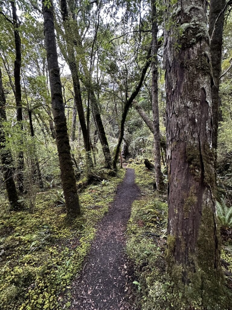
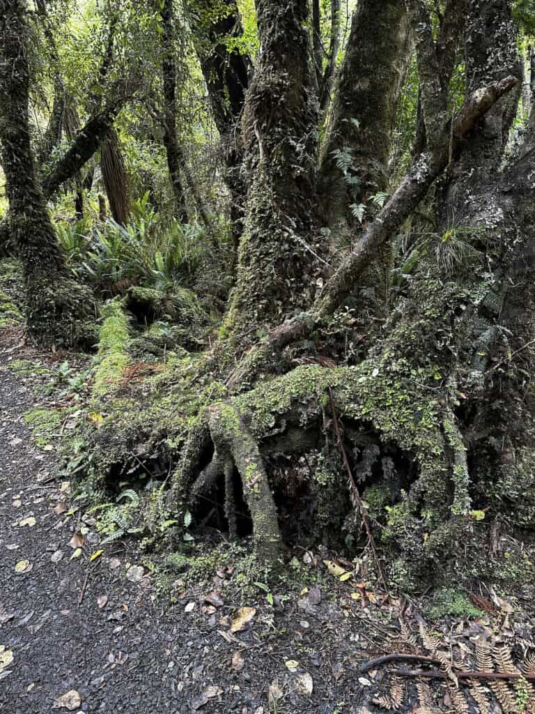
I was also amazed to see Antarctic Beech trees on the trail, a genus of trees that once covered Antarctica before its present iced-over state. They are my favourite tree in Lamington National Park in Queensland and a reminder that once upon a time, the southern landmasses were all part of the Gondwanan supercontinent.

This article may contain affiliate links. If you make a purchase using one of these links, we may receive compensation at no extra cost to you. See our Disclosure Policy for more information.
Quick Facts
|
Location: |
Rakiura (Stewart Is.), New Zealand |
|---|---|
|
Distance: |
38.3 km |
|
Elevation Gain: |
1248 m |
|
Highest Point: |
205m |
|
Duration: |
2-3 Days |
|
Trail Type: |
Circuit |
|
Grade: |
3 |
Rakiura Track Elevation and Map
Rakiura Track Elevation

For an online Rakiura Great Walk map, I recommend GAIA which has a monthly subscription and is a great resource.
I totally recommend taking a Compass and paper map (on any remote hike). You can purchase a Stewart Island topographic map from New Topo NZ or at any at any DOC Visitors Centre.
If you are unsure about using a compass, I recommend taking a navigational course. Just like First Aid, navigation is a good skill to have. If you can't get to an in person navigation course, The Columbia River Orienteering Club has excellent tutorials on YouTube. They also have tutorials on using GPS systems such as GAIA and similar.

Kia Ora, Pass it On
Good tips travel faster than sandflies.
Know Before You Go
Rakiura Track Bookings
There is no registration fee to book this hike, but you have to pay for each hut or campsite, which must be booked in advance.
As this is a Great Walk, bookings fill up fairly quickly, but nowhere as fast as the more populous ones on the other islands. We did this hike over the Christmas break and managed to book it in early November. Visit the official DOC website to book.
Options and Direction for the Rakiura Track
The Rakiura Track is a semi-circular track with a trailhead at each end. One is at Lee Bay, 5km north of Oban, and the other is at Fern Gully Road end, 2km southwest of Rakiura visitors centre.
The track can be hiked in either direction. There is an option to extend the 32km trail by 5km by taking the Ryans Creek Track, which follows the shoreline.


Supply and Resupply
There are no resupply options on the track. I didn't stock up on Rakiura, although there is a small, well-stocked grocery store in Oban. I suggest purchasing everything beforehand on the South Island and you can take gas on the Stewart Island ferry.
Best Time to Hike the Rakiura Track
The Rakiura track can be hiked all year round. Rakiura experiences milder temperatures during the winter as the island is not an alpine region. Therefore, it's not affected by snowfall like the Milford, Routeburn and Kepler Tracks.
The summer months of November – April are the most popular time to walk the track, with long daylight hours and warmer temperatures.
The Rakiura Track Route Description
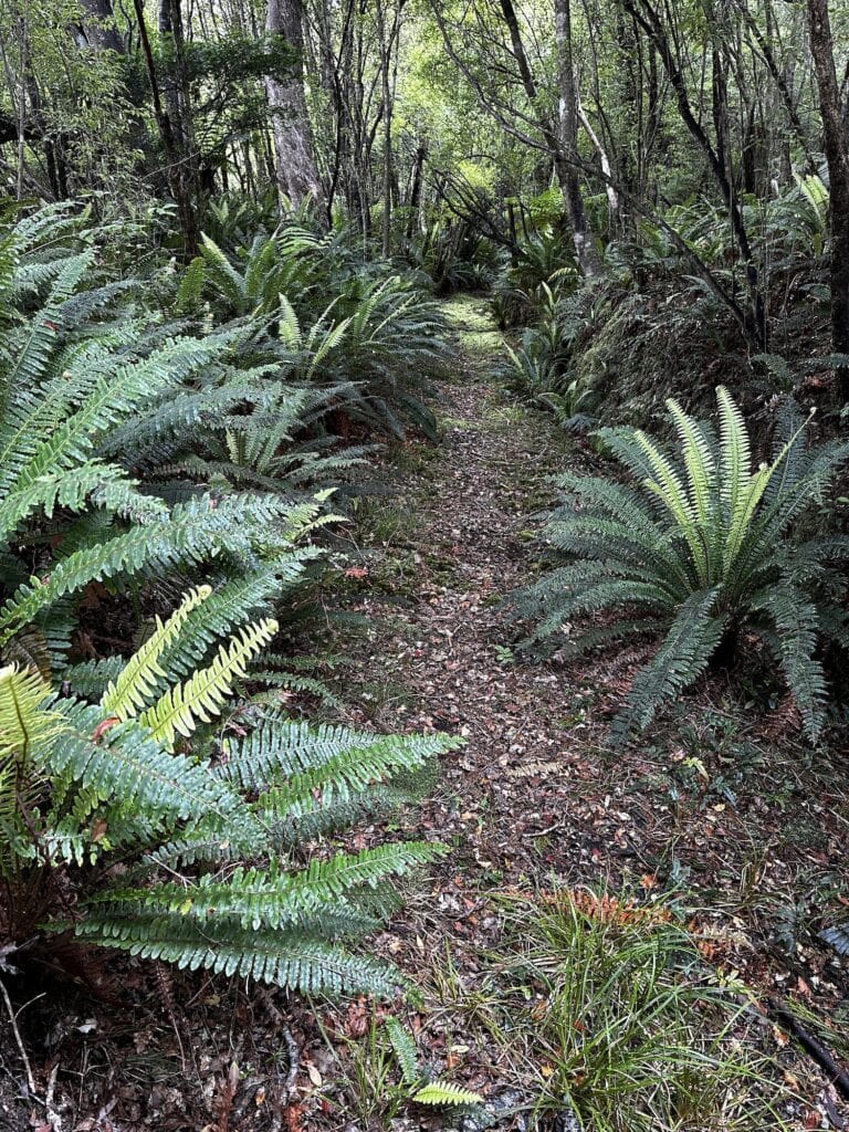
The trail is well-marked and comprises formed tracks, steps, bridge crossings, and beach walking.
Water Sources on Rakiura
There are several streams to obtain water, and each hut and campsite has a water tank. I didn't treat the water, and the locals didn't either – however, the decision is yours.
Safety on Rakiura
New Zealand is safe. The most dangerous thing on this island are the sand flies.


Dogs
Dogs are not allowed.
Trail Accommodation on the Rakiura Track
There are 2 huts, with associated campsites and one stand-alone campsite. Personally, I'm not a fan of the huts, so you will always find me favouring the campsites in my write-ups.
There is nothing wrong with the huts, and the unique hut system in New Zealand is excellent. I just prefer and always opt to sleep in my tent. The campsites are away from the huts on this walk, and campers aren't encouraged to use the hut facilities.
All campsites have composting toilets, a shelter, tables/benches, and large open areas where hikers can pitch their tents wherever suits them. There is a 30% and 20% discount for huts and campsites for New Zealand residents, respectively. Book accommodation here
Sections and Distances between Campgrounds or Huts
|
Fern Gully Carpark – North Arm Hut: |
11 km / 6.8 mi (17 km detour Ryans Creek Trail) |
|---|---|
|
North Arm Hut – Port William Hut: |
13 km / 8 mi |
|
Port William Hut – Lee Bay: |
8 km / 5 mi |
Track Notes for the Rakiura Track
Day 1 To North Arm Campsite via Ryans Creek Track
We started our hike on The Rakiura Track bright and early after a night at the South Sea Hotel, which is a fabulous pub – well, actually, the only pub and the most southern English-speaking pub in the world.
The pub has a couple of options for accommodation, fantastic fresh seafood, lots of local patrons and a great breakfast. If you can, grab one of their savoury muffins to take along on the hike for morning tea.
We stopped briefly at the Rakiura National Park Visitor Centre to pick up some red cellophane and rubber bands to cover our torches at night when seeking kiwi.
Please do this as kiwi spook easily, and the red filter (or red light on your head torch) allows the kiwi to be observed as they cannot detect red light. Remember, we are the visitors in their territory, not the other way around.
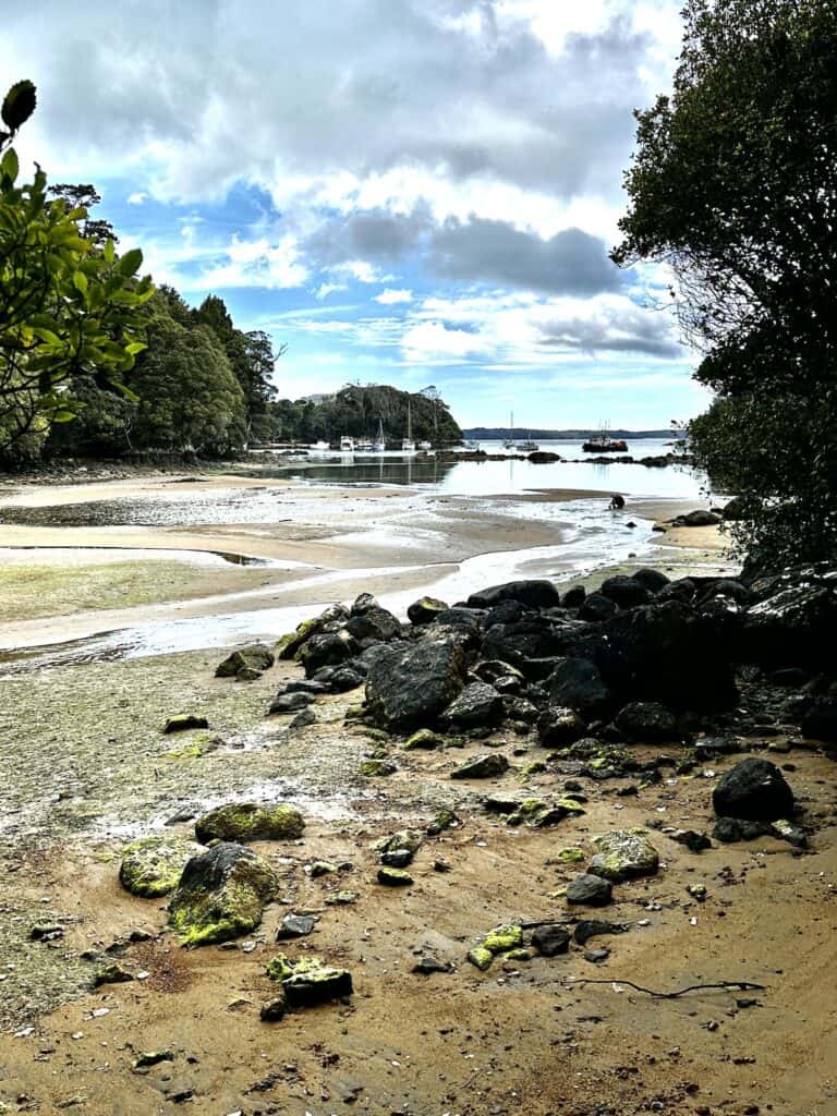
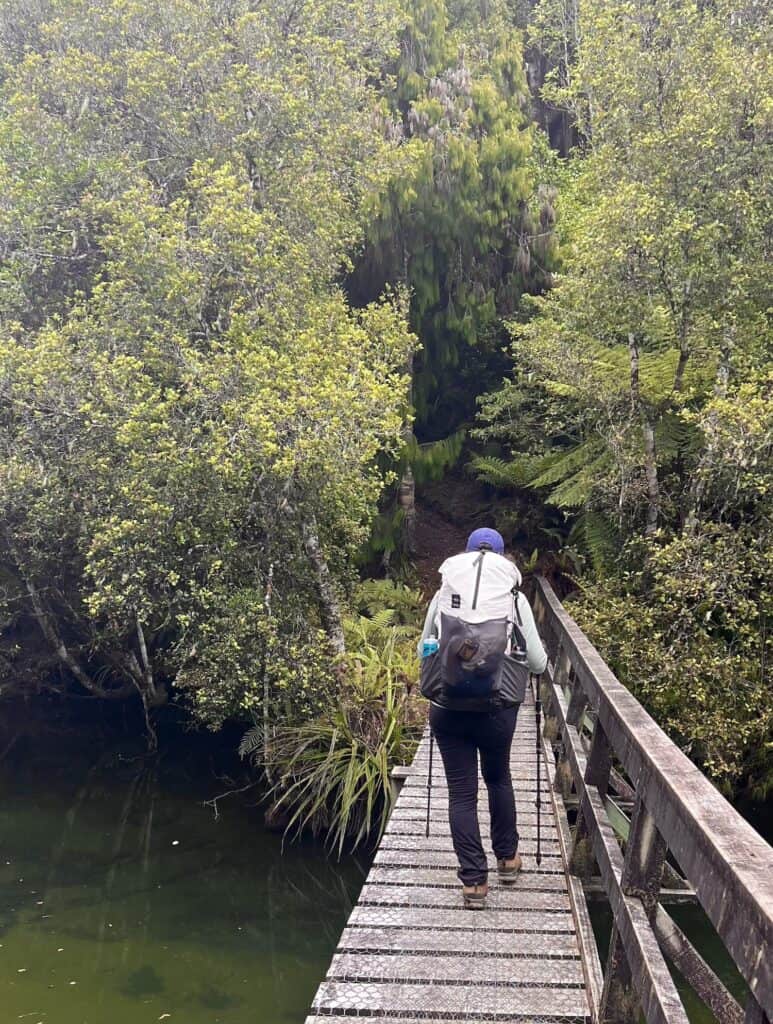
We started out from Fern Gully, hiking The Rakiura Track in a clockwise direction. Our detour took us around Ryans Creek Track, which adds a further 5 km to the first leg.
The track follows the shoreline with glimpses out to Ulva Island. We stopped briefly at Sawdust Bay, where there are toilets and a shelter – another place you could camp, provided you practise LNT principles.
Christmas Eve was spent at the North Arm Campsite, with our tent pitched under rimu trees. We met a few people who were ticking off the North West Circuit both as stand-alone hikes and in addition to the longer Te Araroa, New Zealand's continuous 3,000 km walking track from Cape Reinga to Bluff.
The Southern Circuit also uses this campsite, another fantastic 71 km hike if you are looking for something more challenging.
Day 2 North Arm Campsite to Port William Campsite
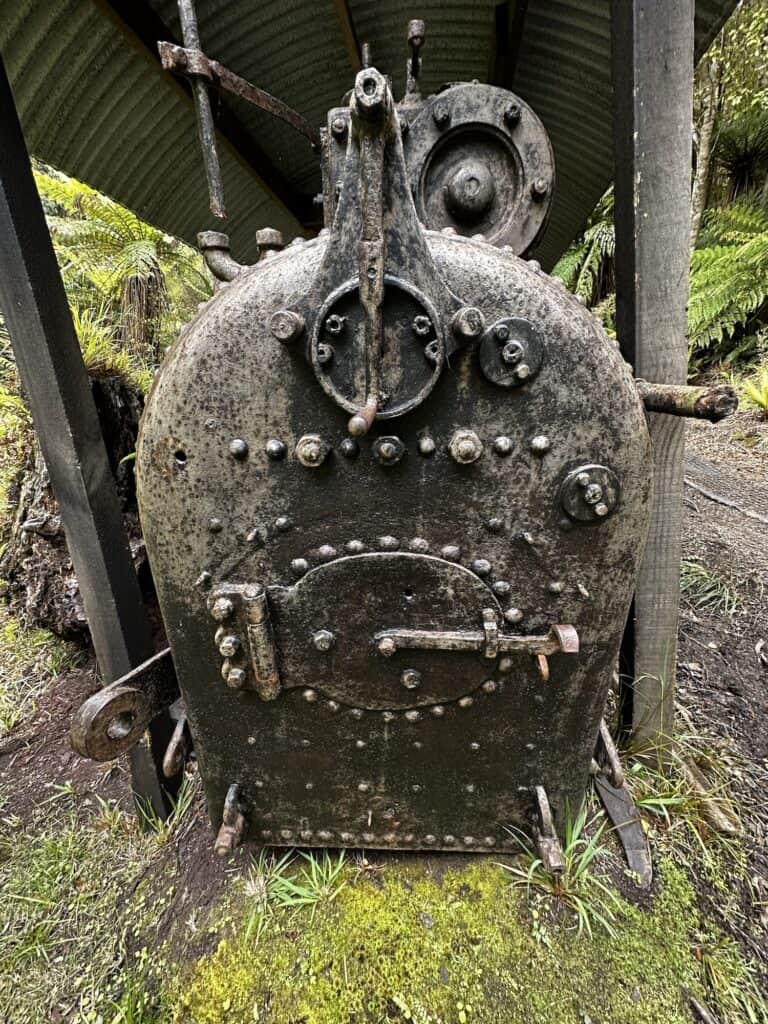

This section took us inland past historic log haullers, which are pretty fascinating.
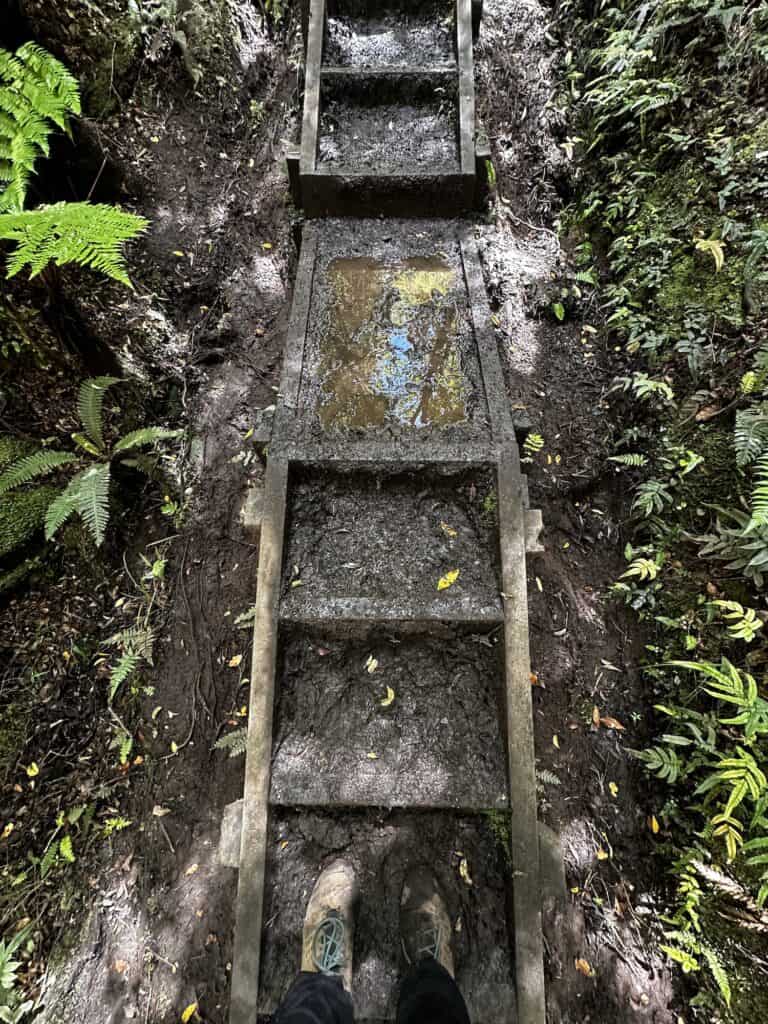
The track is pretty undulating, except for a number of wooden boxed steps built to mitigate the erosion of hikers walking the tracks. While I appreciate this, I've found the steps built by DOC on these tracks to be too steep to be climbed comfortably with a loaded backpack.
It's not that I'm unfit; the rise of each step is too high, in my opinion, to be ergonomically sustainable. When you hike up a hill with a loaded backpack, it's best practice to take small steps that reduce the strain on one's knees.

Free New Zealand Hiking Packing List
Pack light and stay organised for your next hike on Aotearoa's famous trails. Add notes, save or print, and share with your hiking partners so everyone knows what’s covered. Works on any device.
Port William Campsite is just gorgeous! The campsite is set on the shores of the Magnetic Beach and is totally protected by prevailing winds. As with all campsites, there is a shelter, water tank and toilet.
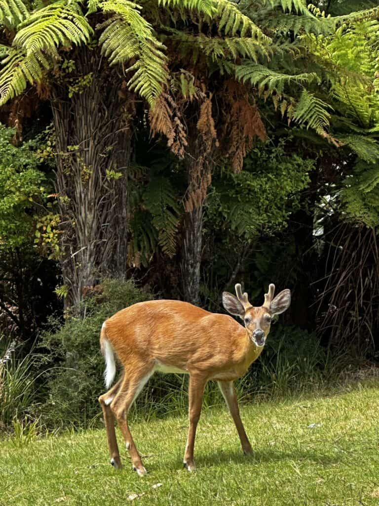
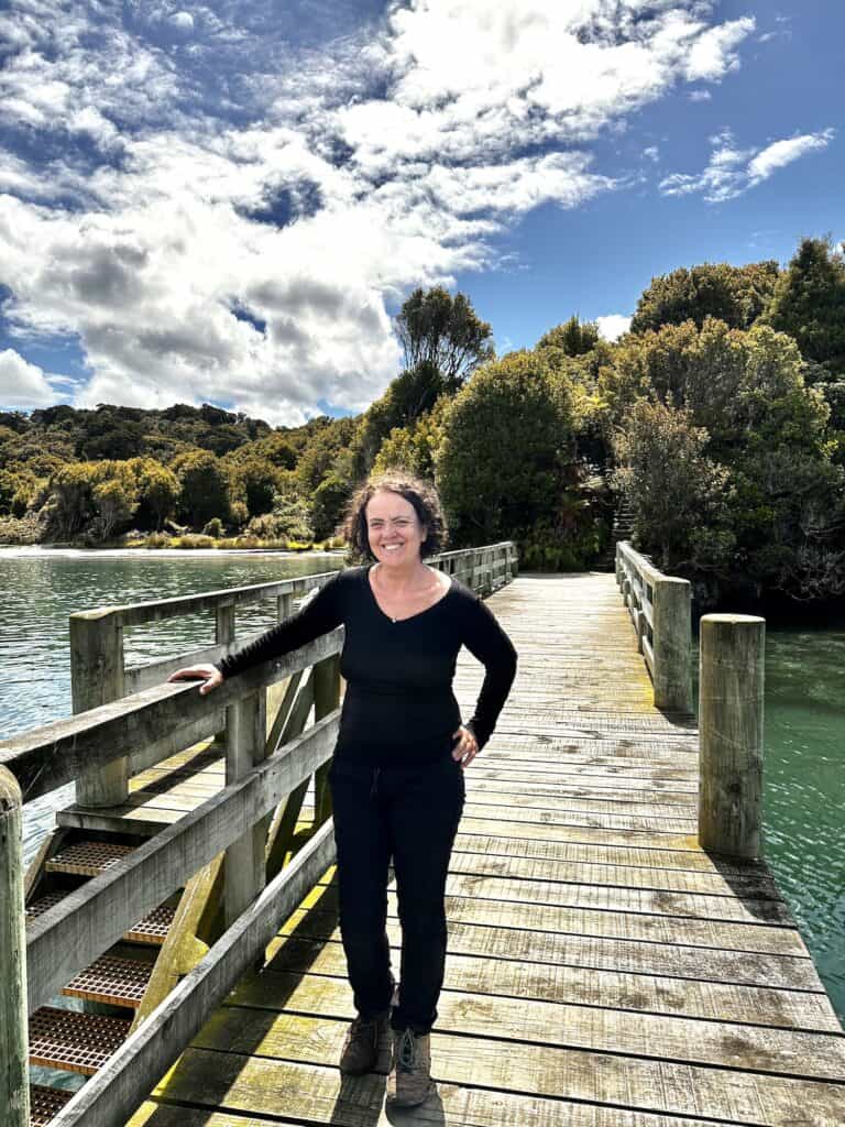
We took a walk to the nearby hut and found several fawns grazing on the surrounding grounds. Totally oblivious to all humans, they were super sweet! Magnetic Beach has a lovely jetty you can walk out on, and of course, it's a great bay to swim in.
That night, we were lulled to sleep by gently lapping waves on the shoreline – pretty nice.
Day 3 Port William Campsite to Oban
Insert images
The walk to Lee Bay is really lovely. Sheltered turquoise blue waters, a bridge or two and then you arrive at Lee Bay. This section is easy, and you can take your time if you're not hurrying to catch the ferry.
We were booked on the 12-noon ferry to meet our shuttle to Invercargill, and when we got to Lee Bay, we realised we weren't going to make it. So we hitched. Was it easy getting a ride?

Share Like You’d Share Jet Planes
Sweet info for sweet-as trails.
Yes – considering there were very few cars on the road. You can call a taxi from the end/start of the trail; honestly, I can't remember why we didn't.
We just thought we could walk it in time. So keep this in mind if you are hiking the trail this way – or alternatively, start from this trailhead. In the end, it really doesn't matter. It's an awesome hike!
Rakiura Track Transport and Logistics
Getting There and Away
The Stewart Island Experience operates the ferry between Bluff and Oban. Tickets cost $110 per adult one way. There are 8 crossings daily each way, 4 departing Bluff and 4 departing Oban, and the crossing takes 1 hour.
This is a passenger-only vehicle, and parking is adjacent to the Bluff Visitor Terminal (additional cost) for ferry passengers. It's an airport-style parking facility, so you collect a ticket on entry and pay when you leave.
The trip across Foveaux Strait can get rather rough – so we suggest taking some sea-sickness tablets with you.


Public Transport
Intercity is the public bus system connecting all major New Zealand cities. Unfortunately, it doesn't extend as far as Bluff and stops short at Invercargill.
Catch a Bus South, and The Stewart Island Experience run shuttles between Invercargill and Bluff daily. This end of New Zealand is relatively safe, and you could try your hand at hitching.
Luggage Storage
We booked a shuttle from Queenstown to Bluff and back by Catch a Bus South. We also left a suitcase with them, which they brought on the bus back for the return journey.
Where to stay in Oban
Save Your Pennies
Stewart Island Backpackers
Very Good and Won't Break the Bank
South Sea Hotel
Splash Out
The Bay Motel


Gear List for the Rakiura Track
The Top 10 Essentials
Head Torch with Red LED – Led Lenser MH4 Rechargeable 400 Lumen Headlamp
To see kiwi at night, you'll need either a red piece of cellophane to cover your torch – or a torch with a Red LED option.
The red light option is also necessary when sitting with other campers so you don't blind them with white light – it's good manners. If you are getting up to use the loo at night in the hut, having a red light option on your torch means you won't wake your sleeping neighbours.
Cooker – Jetboil Stash Cooking Pot Camp Stove System
Unlike the huts on the other Great Walks, the Rakiura Track huts do not have any cookers, so you must bring your own. I use the Jetboil Stash because it's super lightweight, packs really small, and boils under a litre of water in less than 2 minutes. Perfect for that cuppa by the shores of Peterson Inlet or Maori Bay.
Coffee Plunger – Jetboil Silicone Grande Coffee Press
Talking about a cuppa, my morning brew is super important. Just because I'm hiking in the wilderness does not mean I compromise my coffee. Not a chance. The Jetboil coffee press transforms your Jetboil saucepan into a French press, and voila! Damn fine coffee (disclaimer, for damn fine coffee, you will need to buy decent coffee as well).


Tent – Big Agnes Copper Spur HV UL1 1-person tent
I'm a stickler for tent camping. Personally, I have an issue with spending the day in sublime wilderness only to spend the night surrounded by other people. My Big Agnes weighs just under 1 kg, and I've used it on almost all of my multi-day hikes over the last 4 years. It's a 3-season, and I've used it in light snow, where the temperature has plummeted to -5C, and it's been fine.
The Big Agnes is also free-standing, which is very useful if camping on a rock or wood platform.
Sleeping Bag Liner – Sea to Summit Thermal Sleeping Bag Liner
Don't want to upgrade to a warmer bag just for the one hike? Or maybe it's stinking hot, and you just want a light covering. A thermal sleeping bag liner will do both. It can add up to an additional 14C to the warmth of a sleeping bag or be used on its own as a super lightweight bag, which is perfect for hot nights in the huts.
Hiking Poles – Black Diamond Trail Back Trekking Poles
Hiking Poles take stress off your legs, feet, back and joints. When used, the poles absorb some of the shock and take the pressure off your body. They are particularly beneficial when walking up or downhill and will help to relieve pain in the knees.
Rakiura, as well as the other Great Walks, have a lot of steps with very high risers (meaning they are steep). Coupled with the weight of your pack, this can add tremendous stress to your knees.


Rain Jacket (also a windbreaker)
Rakiura is surprisingly mild; however, that doesn't mean this part of New Zealand isn't under the “long white cloud”. I've used the Marmot jacket on many hikes, and I love it because it's super lightweight and packs down really small. Plus, it's very good at what it's supposed to do – a waterproof rain jacket and windbreaker.
Merino Pants*
Whether camping or staying in the huts, you need to pack warm clothes, but you , only need one set of camp clothes. I choose Merino as my camp clothes for several reasons, and the number one is comfort. After a day of hiking, pulling on soft, cloud-like wool is just magic.
Merino is temperature-regulating, so it will add warmth or be cool on your body when needed. Not to mention, Merino is odour-resistant, which is important when considering the lack of showers for the duration of the hike. I use my camp clothes set as pyjamas as well.
Power Bank – Nitecore NB10000 Lightweight Power Bank
Being able to power my devices is super important. As a blogger, I need to be able to take photos. It's part of the job. I also need to charge my phone and my headlamp.
Power banks come in many shapes and sizes, but I was introduced to Nitecore by the first ultralight hiker I'd ever met when hiking The Overland Track (thanks, Andrew!). Hopefully, you'll also thank me – these are super lightweight, and their charge lasts a lot longer than any other power bank I've used.
And thats a Wrap.
The Rakiura Track, Stewart Island's Great Walk, presents an ideal mix of easy accessibility and natural wonder. Tailor-made for newcomers to multi-day hiking, it promises an enchanting journey through diverse landscapes, brimming with opportunities for wildlife encounters, most notably the chance to spot the elusive kiwi in its natural habitat.

Like this? We've got loads more!
Sign up for our weekly email and get your Free Copy of HIKE IT RIGHT.
An 88-page guide to staying well, looking after your body, and handling things when they don’t go to plan
You can unsubscribe anytime. For more details, review our Privacy Policy.
If You Enjoyed this Guide, you Might Also Like:
- Navigating the Overland Track Solo
- Hiking Frenchmans Cap -Tasmania’s Iconic White Peak
- Hiking the Rees Dart Track – Mt Aspiring National Park
- The Rakiura Track – A Great Walk on Stewart Island
- Traverse Walls of Jerusalem to the Overland Track via Lees Paddock
- Hiking The Tahoe Rim Trail – A Guide for Overseas Visitors
- Conquering the Gold Coast Kokoda Challenge
- Plan Your Larapinta Trail Sections, Best Time of Year, Resupply, and Transfers
- Larapinta Trail Food Essentials and Nutrition Plan
Frequently Asked Questions
How difficult is the Rakiura Track?
The Rakiura Track, a Grade 2-3 hike, offers an accessible Stewart Island adventure over 36 km, including both trail and road walking. Fit for those with moderate fitness, this three-day hike serves as a superb introduction to Stewart Island’s scenic landscapes, with the added perk of being hikeable throughout the year, catering to entry-level trekkers yearning for the great outdoors.
Can you do the Rakiura Track in 2 days?
While the Department of Conservation recommends a leisurely three-day itinerary for the Rakiura Track, its status as the shortest and easiest of New Zealand's Great Walks allows average hikers to comfortably complete the 32 km loop in two days. For a condensed trip, setting up camp at Port William for the first overnight is a strategic choice, ensuring a head start on this manageable Stewart Island trek.
Which direction is best for Rakiura Track?
To decide the best direction for tackling the Rakiura Track, consider both elevation and logistics. From Lee Bay to Fern Gully Carpark involves a slightly steeper elevation. However, starting at Lee Bay places you closer to the ferry at the journey's end, which could be a relief after the hike, especially if you're racing to catch the ferry.
Is Rakiura Track worth it?
Certainly, the Rakiura Track is worthwhile. It's a Great Walk that presents an easy yet rewarding trek through Stewart Island’s verdant forests and along its tranquil coastlines. Besides the track’s manageable difficulty, the potential to encounter rare wildlife, like the kiwi, adds to its allure. This track offers an authentic slice of New Zealand’s wilderness, perfect for both new hikers and seasoned enthusiasts.
Is the Rakiura Track a great walk?
Yes, the Rakiura Track is officially recognized as one of New Zealand's Great Walks. This distinction places it among a series of premier hiking tracks across the country that are renowned for their outstanding natural beauty and well-maintained paths, offering hikers an immersive experience in some of New Zealand's most remarkable landscapes.
Is it worth doing a day trip to Stewart Island?
Certainly, a day trip to Stewart Island can be rewarding. Known for its untouched forests, abundant birdlife including the native kiwi, and serene beaches, even a brief visit provides a taste of the island's natural splendour. Visitors can enjoy bird watching, short hikes, village exploration in Oban, and potentially even spot kiwis in the wild during the day.
What is the highest point on the Rakiura Track?
The highest point on the Rakiura Track is found on the section between North Arm and Port William, which reaches an elevation of just 300 meters above sea level. This relatively low elevation reflects the track's reputation as an accessible and less strenuous Great Walk, ideal for those new to multi-day hiking.
Is Rakiura Track muddy?
The Rakiura Track is known to be muddy in parts, a characteristic common in many tracks across New Zealand, particularly those with high rainfall like Stewart Island Great Walk. The terrain can be quite wet, and boardwalks are used in some sections to help manage this. Hikers are advised to be prepared for potentially muddy conditions and to have suitable waterproof footwear.
Why is Stewart Island called Rakiura?
Stewart Island is called Rakiura in Māori, which translates to “Land of the Glowing Skies.” This name reflects the frequent Aurora Australis, the Southern Lights, visible during the winter months from May to August and spring equinox in September. The island's latitude and minimal light pollution make it an ideal spot for observing Aurora Australis.
Is there a town on Stewart Island?
Yes, Stewart Island features the small township of Oban, located in Halfmoon Bay. As the island's main settlement, Oban serves as a welcoming hub for visitors, offering essential services, accommodation, and dining options, all conveniently nestled within a serene coastal setting amidst an expanse of natural wilderness.